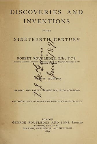
Discoveries and Inventions of the Nineteenth CenturyRoutledge, Robert
History
Discoveries and Inventions of the Nineteenth Century
Routledge, Robert
Inventions -- History -- 19th century
A little beyond this
point the road is in many places protected by snow-sheds, fences of
timber, and rude stonework. At Sherman, 549 miles from Omaha, the line
attains the summit of its track over the Black Hills, and the highest
point on any railway in the world, being 8,242 ft. above the level of
the sea. Wild and desolate scenery characterizes the district round
Sherman, and the hills, in places covered with a dense growth of wood,
will furnish an immense supply of timber for years to come. The
timber-sheds erected over the line, and the fences beside it are not so
much on account of the depth of snow that falls, but to prevent it from
blocking the line by being drifted into the cuts by the high wind. A few
miles beyond Dale Creek at Sherman is the largest bridge on the line. It
is a trestle bridge, 650 ft. long and 126 ft. high, and has a very light
appearance—indeed, to an English eye unaccustomed to these _impromptu_
timber structures, it looks unpleasantly light. From Sherman the line
descends to Laramie, which is 7,123 ft. above the sea level and 24 miles
from Sherman, and here the railway has a workshop, for good coal is
found within a few miles. A fine tract of grazing land, 60 miles long
and 20 miles broad, stretches around this station, and it is said that
nowhere in the whole North American continent can cattle be reared and
fattened more cheaply. The line, now descending the Black Hills, crosses
for many miles a long stretch of rolling prairie, covered in great part
with sage-bush, and forming a tableland lying between the western base
of the Black Hills and the eastern base of the snowy range of the Rocky
Mountains, which latter reach an elevation of from 10,000 to 17,000 ft.
above the sea level and are perpetually covered with snow. Such
tablelands are termed in America “parks.” Before the line reaches the
summit of the pass by which it crosses the range of the snowy mountains,
it traverses some rough country among the spurs of the hills—through
deep cuts and under snow-sheds, across ravines and rivers, and through
tunnels. At Percy, 669 miles, is a station named after Colonel Percy,
who was killed here by the Indians when surveying for the line. He was
surprised by a party of the red men, and retreated to a cabin, where he
withstood the attack of his assailants for three days, killing several
of them; but at length they set fire to the cabin, and the unfortunate
Colonel rushing out, fell a victim to their ferocity. Near Creston, 737
miles from Omaha, the highest point of the chief range is reached,
though at an elevation lower by 1,212 ft. than the summit of the pass
where the line crosses the Black Hills, which are the advanced guard of
the Rocky Mountains. Here is the water-shed of the continent, for all
streams rising to the east of this flow ultimately into the
Atlantic,—while these, having their sources in the west, fall into the
Pacific. Before reaching Ogden the line passes through some grand
Public-domain text, read in full here on John Shaqi.
Reviews
Reviews
No reviews yet
Be the first to share your thoughts on this work.
Elsewhere in the archive
Join the Discussion
Join the discussion
Sign in to leave a comment or review.
Sign InorCreate an account