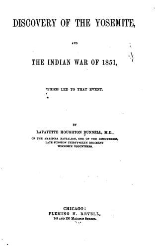
Discovery of the Yosemite, and the Indian War of 1851, Which Led to That EventBunnell, Lafayette Houghton
History
Discovery of the Yosemite, and the Indian War of 1851, Which Led to That Event
Bunnell, Lafayette Houghton
Indians of North America -- California; Pacific Coast Indians, Wars with, 1847-1865; Yosemite Valley (Calif.)
At the base of these cliffs is a comparatively small amount of
_debris_, consisting of broken rocks which have fallen from above. A
kind of soil has accumulated on this talus, which is generally covered
with vegetation. Trees of considerable size--oaks, pines, firs, cedars,
maples, bay and dwarf oak, and lesser shrubs, are frequent. Although
this _debris_ is scarcely observed in a general view, its height above
the bottom of the valley is in many places from three hundred to five
hundred feet next to the cliff, from which it slopes some distance
into the valley. In a few places the bases of the cliffs appear as
if exposed nearly to the level of the valley. The valley proper is
generally level through its entire length. The actual slope given is
“only thirty-five feet between the junctions of the Ten-ie-ya Fork
and the Bridal Veil Creek with the main river, four miles and a half
in a straight line.” The elevation of the valley above the sea level
is 3,950 feet. The Merced River, which is about seventy feet wide in
an ordinary stage of water, courses down through the middle cañon,
meanders through the valley, being restrained or confined to near the
centre of it by the sloping talus at its sides--the sloping _debris_
piles occupying nearly one-half of the bottom of the valley.
Although the soil is principally of a sandy character, the marshy land
subject to overflow, and some of the dry bottom land, have a deep, rich
alluvial soil.
The two beautiful little meadows in the lower section of the valley,
afford forage for animals. On the slope above, not far from the Pohono
Falls, the Yosemities built their huts, as if unconscious of “The
Spirit of the Evil Wind,” near their habitations.
Not far from the foot of the descent of the Mariposa trail, the
original trail branched; one trail continuing on up the south side of
the valley, the other crossing the Merced toward El Capitan. Another
original trail came up on the north side from the gorge below. A small
foot-trail entered this from the northern summit of the Coultersville
trail, but it was purposely left so obscure by the Indians, as to
lead to the belief that it was impassable for horses. This trail was
modernized, and is now known as the “Coultersville Trail.” On angle of
El Capitan is “Ribbon Falls.” The cliff over which the water pours is
nearly 3,000 feet high, but the perpendicular height of the fall is but
little over a thousand feet. This fall is “a beauty” while it lasts,
but it is as ephemeral as a spring shower, and this fact must have been
known to the sponsors at the baptism.
Just above El Capitan are the Three Brothers, the highest peak of these
rocks is 3,830 feet.
Public-domain text, read in full here on John Shaqi.
Reviews
Reviews
No reviews yet
Be the first to share your thoughts on this work.
Elsewhere in the archive
Join the Discussion
Join the discussion
Sign in to leave a comment or review.
Sign InorCreate an account