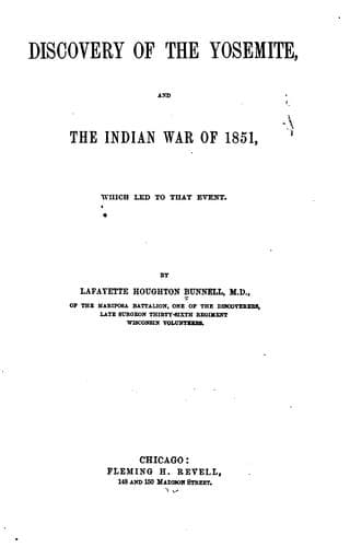
Discovery of the Yosemite, and the Indian War of 1851, Which Led to That EventBunnell, Lafayette Houghton
History
Discovery of the Yosemite, and the Indian War of 1851, Which Led to That Event
Bunnell, Lafayette Houghton
Indians of North America -- California; Pacific Coast Indians, Wars with, 1847-1865; Yosemite Valley (Calif.)
Next above these is the Yosemite Fall. The verge of the cliff over
which this fall begins its descent is 2,600 feet above the level of
the valley. Prof. Whitney in describing this fall, says: “The fall is
not in one perpendicular sheet. There is first a vertical descent of
1,500 feet, when the water strikes on what seems to be a projecting
ledge; but which, in reality, is a shelf or recess, almost a third of a
mile back from the front of the lower portion of the cliff. From here
the water finds its way, in a series of cascades, down a descent equal
to 626 feet perpendicular, and then gives one final plunge of about
400 feet on to a low _talus_ of rocks at the base of the precipice.”
He also “estimates the size of the stream at the summit of the fall,
at a medium stage of water, to be twenty feet in width and two feet
in average depth.” The upper portion of the full spread of its base
is estimated to be a width of from one hundred to three hundred feet
at high water. The wind gives this fall a vibratory motion; sometimes
equal to the width of the column of water itself at the base of the
perpendicular descent.
The ravine called Indian Cañon is less than a mile above the Yosemite
Fall; between the two, is the rocky peak called the “Lost Arrow,”
which, although not perpendicular, runs up boldly to a height of 3,030
feet above the level of the Merced.
The Indian name for the ravine called Indian Cañon was Lehamite, and
the cliff extending into the valley from the East side of the Cañon
is known as the “Arrow-wood Rocks.” This grand wall extends almost
at a right angle towards the East, and continues up the Ten-ie-ya
Cañon, forming the base of the North dome (To-co-ya) which rises to an
elevation of 3,568 feet above the valley.
In the cliff which forms the base of this dome-shaped mass of rocks,
are the “Royal Arches,” an immense arched cavity evidently formed by
portions of the cliff becoming detached from some cause, and falling
out in sections to the depth of seventy-five or one hundred feet from
the face of the cliff. The top of the arch appears to be 1,200 feet or
more above the valley. The extreme width of the cavity is about the
same, or perhaps a little more than the height. Adjoining the “Royal
Arches” on the East, is what is called the “Washington Column.” This
projecting rounded mass of rock, may be said to mark the boundary of
the valley proper and the Ten-ie-ya Cañon, which here opens into the
valley from a Northeasterly direction.
Public-domain text, read in full here on John Shaqi.
Reviews
Reviews
No reviews yet
Be the first to share your thoughts on this work.
Elsewhere in the archive
Join the Discussion
Join the discussion
Sign in to leave a comment or review.
Sign InorCreate an account