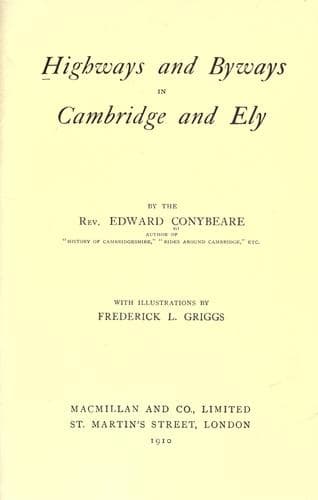
Highways and Byways in Cambridge and ElyConybeare, John William Edward
History
Highways and Byways in Cambridge and Ely
Conybeare, John William Edward
Cambridgeshire (England) -- Description and travel; Isle of Ely (England) -- Description and travel
To many charming byways amid the streamlets and the meadows and the
gentle slopes of this southern Cambridgeshire the seven highways out
of Cambridge will successively conduct us. The highways themselves
are, as has been said, seldom inspiring thoroughfares, save for their
far-flung horizons; and the Newmarket Road least of all, for it is, as
might be looked for, motor-swept beyond all the rest. The one
near-hand object alone worth mention is the little Church of Quy,
whose far-seen tower dominates some miles of the road. But this has
little interest except its curious name, which is matter of dispute
amongst etymologists. "Cow-ey" is the most commonly accepted
derivation, meaning the Island of Cows. But Quy can never have been an
island. More probably it is "Cow-way," like the "Cowey Stakes" on the
Thames, signifying that here was a passage for cattle across the
marshy ground which bordered the little stream crossed by the road
before reaching the church. This stream flows out of Fulbourn Fen, an
isolated patch of fen-land a mile square, even yet only half
reclaimed, and of old so impassable that it determined the line of the
great Fleam Dyke, which runs up to it on either side but does not need
to cross it.
[Illustration: _Quy Church._]
The Fleam Dyke is one of the great prehistoric lines of defence which
were run from the Fens of the Cam to the summit of the East Anglian
heights. Those heights were in ancient times clothed with dense
forest, and formed an impenetrable barrier against enemies from the
west seeking to invade the East Anglian districts. So too did the
morasses of the fenland. But between fen and forest stretched a strip
of open grassland furnishing easy access. To defend this, the only
gate into their territory, was the great object of the inhabitants of
those districts; and they ran across it two stupendous earthworks, the
Fleam Dyke as their outer bulwark and the Devil's Dyke, which we meet
at Newmarket, as the inner.[124] The former stretches for a length of
some ten miles from the banks of the Cam at Fen Ditton to the uplands
by Balsham (its course broken by Fulbourn Fen); the latter ranges in a
long unbroken rampart from the Fen at Reach to Wood Ditton (_i.e._
"the ditch-end in the forest").
[Footnote 124: There were other minor Dykes (such as the Warstead
Street, from Cherry Hinton to Horseheath), but these play no part in
history.]
Public-domain text, read in full here on John Shaqi.
Reviews
Reviews
No reviews yet
Be the first to share your thoughts on this work.
Elsewhere in the archive
Join the Discussion
Join the discussion
Sign in to leave a comment or review.
Sign InorCreate an account