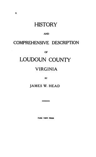
History and Comprehensive Description of Loudoun County, Virginia — John Shaqi
History and Comprehensive Description of Loudoun County, VirginiaHead, James William
History
History and Comprehensive Description of Loudoun County, Virginia
Head, James William
Loudoun County (Va.) -- History
The topography of this soil in the valley varies from gently rolling
to hilly, the slopes being long and gently undulating, while along the
valley walls and in the uplands it is ridgy. Owing to the position
which this type occupies, surface drainage is good. The light texture
of the soil admits of the easy percolation of water through it, and,
except where the subsoil contains considerable sand, the soil moisture
is well retained. In dry weather, if the ground is cultivated, a mulch
is formed, which prevents the evaporation of the soil moisture and
greatly assists the crops to withstand drought.
Nearly the whole of this type is in cultivation. Where the forest
still stands the growth consists chiefly of oak. The soil is easy to
handle, and can be worked without regard to moisture content. It is
considered a good corn land, but is too light-textured for wheat,
although a considerable acreage is devoted to this crop. Corn yields
at the rate of 40 or 50 bushels per acre, wheat from 12 to 15 bushels
and occasionally more, and grass and clover at the rate of 1 or 2 tons
per acre. The productiveness of the soil depends greatly on the sand
content of the subsoil. If the quantity be large, the soil is porous
and requires considerable rain to produce good yields. If the clay
content predominates, a moderate amount of rain suffices and good
yields are obtained. Apples, pears, and small fruits do well on this
soil.
_Penn Clay._
The Penn clay consists of from 6 to 12 inches of a red or
reddish-brown loam, resting upon a subsoil of heavy red clay. The soil
and subsoil generally have the Indian-red color characteristic of the
Triassic red sandstone from which the soil is in part derived. From 1
to 10 per cent of the soil mass is usually made up of small sandstone
fragments, while throughout the greater part of the type numerous
limestone conglomerate ledges, interbedded with Triassic red
sandstone, come to the surface. In other areas of the type numerous
limestone conglomerate bowlders, often of great size, cover from 10 to
25 per cent of the surface.
This latter phase occurs in the vicinity of the Potomac River near
Point of Rocks, Md., and near the Potomac, 3 miles north of Leesburg,
and in these places the heavier phase of the type occurs, the clay
often being very near the surface. In other parts of the County, where
the limestone conglomerate is not so preponderant, or where it lies
deeper and is mostly unexposed, the surface soil is deeper, often
consisting of 18 inches of loam. The land is locally termed "limestone
land." Near Catoctin Mountain the rocks seem to have weathered to
considerable depth, there being no exposures or outcrops. Here the
soil has been washed away from some of the more elevated small areas,
and the heavy red clay subsoil is exposed.
Public-domain text, read in full here on John Shaqi.
Reviews
Reviews
No reviews yet
Be the first to share your thoughts on this work.
Join the Discussion
Join the discussion
Sign in to leave a comment or review.
Sign InorCreate an account