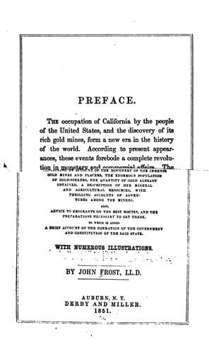
History of the State of California: From the Period of the Conquest by Spain to Her Occupation by the United States of AmericaFrost, John
History
History of the State of California: From the Period of the Conquest by Spain to Her Occupation by the United States of America
Frost, John
California -- Gold discoveries; California -- History
The Platte River is about one hundred and fifty yards in breadth where
the trail reaches it. The current is sluggish and turbid, and the
water is very shallow. The trail continues along the banks of the
river, the course of which is nearly from west to east, and the road
is all that could be wished for travelling. The bluffs which skirt the
valley present considerable variety, and as the route is continued,
they become more elevated and broken. The soil of the valley becomes
less fertile and the vegetation is thin and short. After traversing
the valley of the Platte for the distance of one hundred and thirty
miles, the trail crosses the river and continues along the northern
bank of the south fork for about twelve miles, when it diverges from
the stream to pass over the prairie to the north fork. The distance
from the south to the north fork of the Platte, by the emigrant trail,
is about twenty-two miles, without water. The country between the two
streams is high and rolling. The soil is poor, the grass short, and no
trees or shrubs are visible. The trail descends into the valley of the
north fork of the Platte, through a pass known as Ash Hollow. There is
but one steep or difficult place for wagons in the pass, and in the
valley will be found a spring of pure cool water. At this place, there
is a sort of post office, where letters are left by emigrants, with
requests that they shall be taken to the States by those who pass this
way.
For several miles from Ash Hollow the trail passes over a sandy soil,
which is very soft, but which afterwards becomes firmer. The scenery
then presents the aspect of barrenness and desolation. Sand and rocks
are all that meet the view for many miles. The landscape then assumes
a greener and more refreshing appearance, and groves of trees relieve
the emigrants from pursuing their way any farther during the day.
Farther on, the well-known landmark, called the "Chimney Rock," which
can be seen at a great distance, is met by the emigrants. It is
composed of soft rock, and is several hundred feet high. The scenery
in the neighbourhood of the rock is very remarkable and picturesque.
There are a number of rocky elevations which present the appearance of
vast temples and pyramids, with domes and spires partially in ruins.
Over a sandy soil, the trail is pursued for about twenty miles, the
surrounding scenery being of the most sublime and singular character.
Near a remarkable rocky conformation, called "Scott's Bluff," the
trail leaves the river, and runs over a smooth valley in the rear of
the bluff. It there ascends to the top of the dividing ridge, from
which the Rocky Mountains can be seen. Descending from the ridge, it
passes over a barren country, broken by deep chasms and ravines, for
about twelve miles, when Horse Creek is reached. From that creek, the
trail is followed to the Platte River, where a place for encampment is
found, though the grass is very indifferent. Continuing for several
Public-domain text, read in full here on John Shaqi.
Reviews
Reviews
No reviews yet
Be the first to share your thoughts on this work.
Elsewhere in the archive
Join the Discussion
Join the discussion
Sign in to leave a comment or review.
Sign InorCreate an account