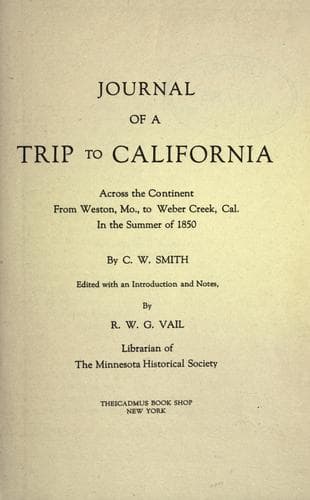
Journal of a Trip to California: Across the Continent from Weston, Mo., to Weber Creek, Cal., in the Summer of 1850Smith, Charles W.
History
Journal of a Trip to California: Across the Continent from Weston, Mo., to Weber Creek, Cal., in the Summer of 1850
Smith, Charles W.
Overland journeys to the Pacific; Smith, Charles W.
After traveling over a rough country till noon, we came to Grease Creek
and encamped on it near Rattlesnake Rock. We stopped about two o'clock
for the purpose of resting and letting our cattle feed, as we had just
come over a portion of the route nearly destitute of grass and water. We
came by one little stream which is known to be poisonous, the water
being strongly impregnated with alkali. We learn by some emigrants since
we passed this stream that a company who were ignorant of the nature of
the water let their horses drink it, and many of them died in
consequence. Distance, fourteen miles.
JUNE 8.
Today at noon we reached the Sweetwater, much elated, as we had been on
the muddy Platte for more than twenty days. The river is here about six
rods wide, and deep; water tolerably good, not quite clear. Another mile
brought us to the far-famed Independence Rock. I climbed up its abrupt,
rocky sides, and spent a few minutes in walking about its summit, though
I had not time to examine it as I wished. It is composed of solid rock
of a light red clay color, about one eighth of a mile long and two
hundred feet high. There are huge masses of grotesque rocks lying upon
its sides and summit, some of which weighed hundreds of tons and appear
as if they could be shoved off by the hand. On the prominent points of
this rock are carved and painted thousands of names, in all styles and
sizes; some are put high up on the ledges, where it must have been
difficult to place them, and others nearer the ground. I looked for a
familiar name, but could find none, though I saw all the states
inscribed, as the former residences of these pilgrims. One half mile
further on we crossed the Sweet Water, and in the afternoon went by what
is called The Devil's Gate, a narrow channel of the stream, through a
pass of the Rattlesnake Mountains. Looking down into the stream from the
rocks hundreds of feet high, it is said that the Sweet Water appears as
a mere rivulet. Some of our party climbed to the top of the Gate and
boasted of having done some daring climbing. We are now surrounded by
mountains, entirely barren, except a few stunted cedars or other
evergreens. The range on the south is partly covered with snow.
Distance, twenty-two miles.
JUNE 9.
Started in the morning. A shower at noon. Distance, fourteen miles.
JUNE 10.
After proceeding up the river for fourteen miles, we left it for sixteen
miles. At night we stopped at the Ice Springs. The water is very bad
here, so much so that we dare not let our cattle drink it. We see many
evidences of its fatality in the many horses and cattle in the vicinity.
Distance, twenty miles.
JUNE 11.
Public-domain text, read in full here on John Shaqi.
Reviews
Reviews
No reviews yet
Be the first to share your thoughts on this work.
Join the Discussion
Join the discussion
Sign in to leave a comment or review.
Sign InorCreate an account