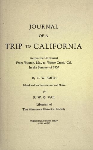
Journal of a Trip to California: Across the Continent from Weston, Mo., to Weber Creek, Cal., in the Summer of 1850Smith, Charles W.
History
Journal of a Trip to California: Across the Continent from Weston, Mo., to Weber Creek, Cal., in the Summer of 1850
Smith, Charles W.
Overland journeys to the Pacific; Smith, Charles W.
This morning we drove four miles to Bear River and stopped for the day,
all needing rest. A family of the Snake Indians came to our camp and
asked for sugar and powder. They were dressed in dirty buckskin and
looked very wretched. We see already upon the road numerous stragglers,
men having lost their teams and provisions, and those who started
unprepared. Our speed on the road has been much better than we expected.
For more than a month we have seen the same companies, some of them
supplied with the best teams. Distance, four miles.
JUNE 24.
Started early this morning, all in good spirits. Continued down the
valley but were not within several miles of the river for most of the
day, and did not come close to it at all, though we crossed a great many
streams, which came down from the range of mountains on our right, and
emptied into Bear River. Though we had crossed many streams during the
day, at night we camped not less than three miles from it. A couple of
our men went to the river for some water, and when they returned they
declared that it was not less than four miles to it. It appears about
one mile and a half. Road today excellent. The wild sage which covered
most of the country from Fort Laramie to Green River is not so prolific
in this region, but a great many plants spring up among the grass, some
of which bear beautiful blossoms. Distance, twenty-six miles.
JUNE 25.
Went two miles to water and took breakfast; about eight miles farther we
came to Cold Springs. They spring up out of the plain near the trail and
make quite a respectable stream. The water is remarkably cold and good.
Opposite the Cold Springs, and about a half a mile to the right, is
another natural curiosity, called Beer Springs. These springs are so
called from the fact that these springs have a sour taste, somewhat
resembling beer. It springs out of an elevated, light-colored rock,
which I suppose was caused by the petrification of certain properties in
the water. Upon the center of the elevation are several sharp-pointed
rocks, from which the water rushes. Several of these conical rocks,
larger than the rest, are now exhausted. They must have been great
curiosities when in full play. Four miles further on, and within two
yards of Bear River, are Steamboat Springs. The water of these springs,
which gushes from the rocks is warm, which is the more remarkable from
the fact of its being so close to the river. Just beyond this place the
Bear River bends suddenly round the mountains, to the south, and here we
leave it. It is well known it rises in the great basin and empties into
Salt Lake. A little to the west of the bend is the old crater, so called
from the supposition that it was once a volcano, the base alone
remaining. The rocks in this ruinous-looking place bear the marks of
fire. Opposite to the old crater the road branches off to Fort Hall, the
one we are traveling (Hedspeths [?] Cutoff), continuing west. Distance,
twenty miles.
JUNE 26.
Public-domain text, read in full here on John Shaqi.
Reviews
Reviews
No reviews yet
Be the first to share your thoughts on this work.
Join the Discussion
Join the discussion
Sign in to leave a comment or review.
Sign InorCreate an account