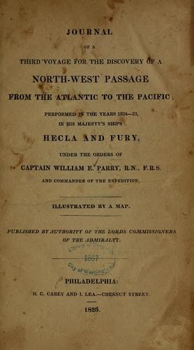
Journal of the Third Voyage for the Discovery of a North-West PassageParry, William Edward, Sir
History
Journal of the Third Voyage for the Discovery of a North-West Passage
Parry, William Edward, Sir
Arctic regions -- Discovery and exploration -- British; Fury (Ship); Hecla (Ship); Northwest Passage
This duty being performed, we immediately commenced landing the casks and
filling water; but notwithstanding the large streams which, a short time
before, had been running into the harbour, we could hardly obtain enough
for our purpose by sinking a cask with holes in it. I have no doubt that
this rapid dissolution of all the snow on land so high as this, was the
result of an unusually warm summer. This work, together with the entire
re-stowage of all the holds, occupied the whole of the 29th and 30th;
during which time Lieutenant Sherer was employed in completing the survey
of the harbour, more especially the soundings, which the presence of ice
had before prevented. These arrangements had just been completed when
the north-easterly wind died away, and was succeeded on the morning of
the 31st by a light air from the north-west. As soon as we had sent to
ascertain that the sea was clear of ice on the outside, and that the
breeze which blew in the harbour was the true one, we weighed and stood
out, and before noon had cleared the shoals at the entrance.
Neill’s Harbour, the only one on this eastern coast of Prince Regent’s
Inlet, except Port Bowen, to which it is far superior, corresponds with
one of the apparent openings seen at a distance in 1819, and marked on
the chart of that voyage as a “valley or bay.” We found it not merely a
convenient place of shelter but a most excellent harbour, with sufficient
space for a great number of ships, and holding-ground of the best
quality, consisting of a tenacious mud of a greenish colour, in which the
flukes of an anchor are entirely embedded. A great deal of the anchoring
ground is entirely land-locked, and some shoal points which narrow the
entrance would serve to break off any heavy sea from the eastward. The
depth of water in most parts is greater than could be wished, but several
good berths are pointed out in the accompanying survey made by Lieutenant
Sherer. The beach on the west side is a fine bold one, with four fathoms
within twenty yards of low water mark, and consists of small pebbles of
limestone. The formation of the rocks about the harbour is so similar to
that of Port Bowen that no description of them is necessary. The harbour
may best be known by its latitude; by the very remarkable flat-topped
hill eight miles south of it, which I have named after Lieutenant Sherer
who observed its latitude; by the high cliffs on the south side of the
entrance, and the comparative low land on the north. The high land is
the more peculiar, as consisting of that very regular horizontal
stratification appearing to be supported by buttresses, which
characterises a large portion of the western shore of Prince Regent’s
Inlet, but is not seen on any part of this coast so well marked as here.
It is a remarkable circumstance, and such as, I believe, very rarely
occurs, that from the point of this land forming the entrance of the
harbour to the southward, and where the cliffs rise at once to a
Public-domain text, read in full here on John Shaqi.
Reviews
Reviews
No reviews yet
Be the first to share your thoughts on this work.
Elsewhere in the archive
Join the Discussion
Join the discussion
Sign in to leave a comment or review.
Sign InorCreate an account