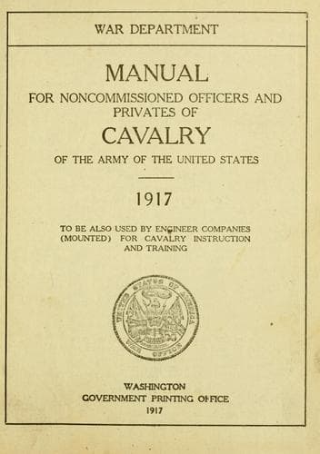
Manual for Noncommissioned Officers and Privates of Cavalry of the Army: of the United States 1917. To be also used by Engineer Companies (Mounted) for Cavalry Instruction and TrainingUnited States. War Department
History
Manual for Noncommissioned Officers and Privates of Cavalry of the Army: of the United States 1917. To be also used by Engineer Companies (Mounted) for Cavalry Instruction and Training
United States. War Department
United States. Army -- Handbooks, manuals, etc.
To find the ground distance by the third kind of scale, copy it on the
edge of a slip of paper, apply the slip directly to the map, and read
off the distance; and so we answer the question, "How far?"
After direction and distance comes the interpretation of the signs,
symbols, and abbreviations on the map. Those authorized are given on
pages 272 and 273 (a reprint of Appendix 4, Field Service Regulations,
1914); but there are a good many other conventional signs in common
use. A key to them is published by the War Department and is called
"Conventional Signs, United States Army." From these you read at once
the natural and artificial features of the country shown on your map.
It should be borne in mind that these conventional signs are not
necessarily drawn to scale, as are the distances. They show the
position and outline of the features rather than the size. This for
the reason that many of the features shown, if drawn to scale, would
be so small that one could not make them out except with a magnifying
glass. If the exact dimensions are of any importance, they will be
written in figures on the map. For instance, bridges.
In addition to the above conventional signs, we have contours to show
the elevations, depressions, slope, and shape of the ground. Abroad,
hachures are much used, but they serve only to indicate elevation,
and, as compared to contours, are of little value. Contours resemble
the lines shown in figure 4 (p. 259).
Hachures are shown in figure 5 (p. 259), and may be found on any
European map. They simply show slopes, and, when carefully drawn, show
steeper slopes by heavier shading and gentler slopes by the fainter
hachures. The crest of the mountain is within the hachures. (See fig.
5, p. 259.)
_Contours._--A certain student, when asked by his instructor to define
"space," said: "I have it, sir, in my head, but can not put it into
words." The instructor replied: "I suppose that under those
circumstances, Mr. ----, the definition really would not help much."
And so it is with contours--the definition does not help much if you
know a contour when you meet it on a map. For examples of contours,
turn to the map facing page 274, and, starting at the United States
penitentiary, note the smooth, flowing, irregular curved lines marked
880, 860, 840, 840, 860, etc.
The only other lines on the map that at all resemble contours are
stream lines, like "Corral Creek," but the stream lines are readily
distinguished from contours by the fact that they cross the contours
squarely, while the contours run approximately parallel to each other.
Note the stream line just to the west of South Merritt Hill.
Public-domain text, read in full here on John Shaqi.
Reviews
Reviews
No reviews yet
Be the first to share your thoughts on this work.
Elsewhere in the archive
Join the Discussion
Join the discussion
Sign in to leave a comment or review.
Sign InorCreate an account