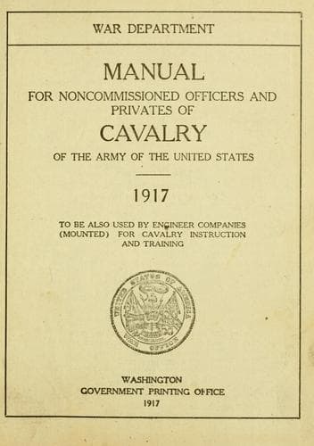
Manual for Noncommissioned Officers and Privates of Cavalry of the Army: of the United States 1917. To be also used by Engineer Companies (Mounted) for Cavalry Instruction and TrainingUnited States. War Department
History
Manual for Noncommissioned Officers and Privates of Cavalry of the Army: of the United States 1917. To be also used by Engineer Companies (Mounted) for Cavalry Instruction and Training
United States. War Department
United States. Army -- Handbooks, manuals, etc.
Suppose, for instance, you were near Leavenworth and wanted to locate
your exact position, of which you are uncertain. You have the map
shown in this manual, and, looking about, you see southwest from where
you stand the United States Penitentiary; also, halfway between the
south and the southeast--south-southeast a sailor would say--the
reservoir (rectangle west of "O" in "Missouri"). Having oriented your
map, draw on it a line from the map position of the reservoir toward
its actual position on the ground. Similarly draw a line from the map
position of penitentiary toward its actual position. Prolong the two
lines until they intersect. The intersection of the lines will mark
the place where you stand--south Merritt Hill.
This method consists merely in drawing on the map lines that represent
the lines of sight to known and visible places. The lines pass through
the map position of the places you see and are parallel to the actual
lines of sight; therefore they are the map representations of the
lines of sight, and their intersection is the map position of the eye
of the observer.
After this orientation and location of position, one can deduce from
the map everything there is to know in regard to directions. In this
respect, study of the ground itself will show no more than will study
of the map.
After "What direction?" comes "How far?" To answer this, one must
understand that the map distance between any two points shown bears a
fixed and definite relation or proportion to the real distance between
the two points.
For instance: We measure on a map and find the distance between two
points to be 1 inch. Then we measure the real distance on the ground
and find it to be 10,000 inches; hence the relation between the map
distance and the real distance is 1 to 10,000, or 1/10000. Now, if the
map is properly drawn, the same relation will hold good for all
distances, and we can obtain any ground distance by multiplying by
10,000 the corresponding map distance.
This relation need not be 1/10000, but may be anything from 1/100 that
an architect might use in making a map or plan of a house up to one
over a billion and a half, which is about the proportion between map
and real distances in a pocket-atlas representation of the whole world
on a 6-inch page. Map makers call this relation the "scale" of the map
and put it down in a corner in one of three ways.
For the sake of an illustration, say the relation between map and
ground distances is 1 to 100; that is, 1 inch on the map is equal to
100 on the ground. The scale may be written:
First. 1 inch equals 100.
Second. 1/100.
Third. As shown by figure 3 (p. 259).
These expressions mean one and the same thing. A variation of the
first method on a map of different scale might be: 1 inch equals 1
mile. Since a mile contains 63,360 inches, then the real distance
between any two points shown on the map is 63,360 times the map
distance.
Public-domain text, read in full here on John Shaqi.
Reviews
Reviews
No reviews yet
Be the first to share your thoughts on this work.
Elsewhere in the archive
Join the Discussion
Join the discussion
Sign in to leave a comment or review.
Sign InorCreate an account