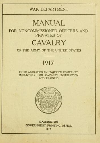
Manual for Noncommissioned Officers and Privates of Cavalry of the Army: of the United States 1917. To be also used by Engineer Companies (Mounted) for Cavalry Instruction and TrainingUnited States. War Department
History
Manual for Noncommissioned Officers and Privates of Cavalry of the Army: of the United States 1917. To be also used by Engineer Companies (Mounted) for Cavalry Instruction and Training
United States. War Department
United States. Army -- Handbooks, manuals, etc.
Take up, first, the contour of the open type. If the map shows a
stream running down the inside of the contour, there is no difficulty
in saying at once that the ground feature is a valley; for instance,
V, V, V, and the valley of Corral Creek on the map. But if there is no
stream line, does the contour bend show a valley or a ridge?
First of all, there is a radical difference between the bend of a
contour round the head of a valley and its bend round the nose of a
ridge.
Compare on the map the valleys V and the ridges R. The bend of the
contour round the head of the valley is much sharper than the bend of
the contour round the nose of the ridge. This is a general truth, not
only in regard to maps, but also in regard to ground forms. Study any
piece of open ground and note how much wider are the ridges than the
valleys. Where you find a "hog back" or "devil's backbone," you have
an exception to the rule, but the exceptions are not frequent enough
to worry over.
To tell whether a given point is on a ridge or in a valley, start from
the nearest stream shown on the map and work across the map to the
undetermined point, keeping in mind that in a real trip across the
country you start from the stream, go up the hill to the top of a
ridge, down the other side of the hill to a watercourse, then up a
hill to the top of a ridge, down again, up again, etc. That is all
traveling is--valley, hill, valley, hill, valley, etc., though you
wander till the crack o' doom. And so your map travels must
go--valley, hill, valley, hill--till you run off the map or come back
to the starting point.
On the map, follow the R-V line, V indicating valley and R ridge or
hill. Note first the difference in sharpness in the contour bends;
also how the valley contours point to the highland and the ridge
contours to the lowland.
The contours go thus:
[Illustration: Sketch Low / High land.]
The streams flow down the valleys, and the sharp angle of the contour
points always _up_ stream. Note also how the junction of a stream and
its tributary usually makes an angle that points _down_ stream.
"Which way does this stream run?"
Water flows down hill. If you are in the bed of a stream, contours
representing higher ground must be to your right and to your left. Get
the elevations of these contours. Generally the nearest contour to the
bank of the stream will cross the stream, and there will be an angle
or sharp turn in the contour at this crossing. If the point of the
angle or sharp turn is toward you, you are going downstream; if away
from you, you are going upstream.
Public-domain text, read in full here on John Shaqi.
Reviews
Reviews
No reviews yet
Be the first to share your thoughts on this work.
Elsewhere in the archive
Join the Discussion
Join the discussion
Sign in to leave a comment or review.
Sign InorCreate an account