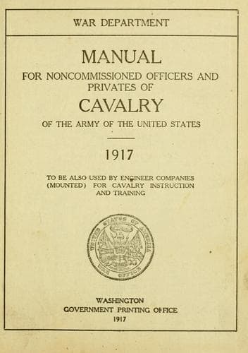
Manual for Noncommissioned Officers and Privates of Cavalry of the Army: of the United States 1917. To be also used by Engineer Companies (Mounted) for Cavalry Instruction and TrainingUnited States. War Department
History
Manual for Noncommissioned Officers and Privates of Cavalry of the Army: of the United States 1917. To be also used by Engineer Companies (Mounted) for Cavalry Instruction and Training
United States. War Department
United States. Army -- Handbooks, manuals, etc.
People frequently ask, "What should I see when I read a map?" and the
answer is given, "The ground as it is." This is not true any more than
it is true that the words "The valley of the Meuse," bring to your
mind vine-clad hills, a noble river, and green fields where cattle
graze. Nor can any picture ever put into your thought what the Grand
Canyon really is. What printed word or painted picture can not do, a
map will not. A map says to you, "Here stands a hill," "Here is a
valley," "This stream runs so," and gives you a good many facts in
regard to them. But you do not have to "see" anything, any more than
you have to visualize Liege in order to learn the facts of its
geography. A map sets forth cold facts in an alphabet all its own, but
an easy alphabet, and one that tells with a few curving lines more
than many thousand words could tell.
=Section 2. Sketching.=
Noncommissioned officers and selected privates should be able to make
simple route sketches. This is particularly useful in patrolling, as
thereby a patrol leader is able to give his commander a good idea of
the country his patrol has traversed. Sketches should be made on a
certain scale, which should be indicated on the sketch, such as 3
inches on the sketch equals 1 mile on the ground. The north should be
indicated on the sketch by means of an arrow pointing in that
direction. Any piece of paper may be used to make the sketch on. The
back of the field-message blank is ruled and prepared for this
purpose. The abbreviations and conventional signs shown on the
following pages should be used in making such simple sketches.
Field Maps and Sketches.
The following abbreviations and signs are authorized for use on field
maps and sketches. For more elaborate map work the authorized
conventional signs as given in the manual of "Conventional Signs,
United States Army Maps,"; are used.
Abbreviations other than those given should not be used.
ABBREVIATIONS.
Public-domain text, read in full here on John Shaqi.
Reviews
Reviews
No reviews yet
Be the first to share your thoughts on this work.
Elsewhere in the archive
Join the Discussion
Join the discussion
Sign in to leave a comment or review.
Sign InorCreate an account