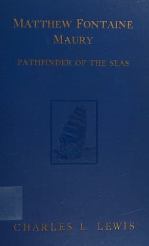
Matthew Fontaine Maury, the Pathfinder of the Seas — John Shaqi
Matthew Fontaine Maury, the Pathfinder of the SeasLewis, Charles Lee
History
Matthew Fontaine Maury, the Pathfinder of the Seas
Lewis, Charles Lee
Maury, Matthew Fontaine, 1806-1873
These “Wind and Current Charts” included Track Charts, Trade Wind
Charts, Pilot Charts, Thermal Charts, Storm and Rain Charts, and Whale
Charts. The Track Charts showed the frequented parts of the ocean, the
general character of the weather and wind, and the force and direction
of the latter at different seasons of the year. The Trade Wind Charts
gave the limits, extent, and general characteristics of the trade wind
regions, together with their neighboring zones of calms. The Pilot
Charts showed in every square of fifteen degrees the direction of the
wind for sixteen points of the compass that would probably be found
in that square during each month of the year, the results being based
upon the number of times the wind was reported to have been from that
direction in former years. The Thermal Charts recorded the temperature
of the surface of the ocean wherever and whenever it had been observed,
the different temperatures being distinguished by colors and symbols in
such a manner that mere inspection of the chart showed the temperature
for any month. The Storm and Rain Charts demonstrated in every square
of five degrees the number of observations that had been made for each
month, the number of days in which there had been rain, a calm, fog,
lightning and thunder, or a storm and the quarter from which it had
blown. The Whale Charts, finally, showed where whales were most hunted,
in what years and months they had been most frequently found, whether
in shoals or as stragglers, and whether sperm or right whales.
Though the coöperation which Maury enjoyed was an extensive one, he was
still not satisfied, and as early as 1851 he conceived the idea of a
universal system of meteorological observations on both land and sea.
Through the advice of British scientists, he decided to confine his
system, for the time being, only to the sea, though he was afterwards
to regret such a curtailment of his original scheme. With the authority
of Secretary of the Navy William A. Graham, to whom Maury was greatly
indebted for very generous support in furthering his ambitious project,
he set to work through diplomatic representatives of foreign countries
at Washington to interest as many meteorologists as possible in the
convening of an international meteorological conference. The United
States also was asked to coöperate, through letters which Maury sent to
the various Cabinet Members, heads of the Coast Survey, the Bureau of
Engineers, and the Smithsonian Institute, and other scientists. Paris
was at first considered to be a suitable place for the meeting; but
eventually Brussels was chosen, and the following nations accepted the
invitation to send representatives: Belgium, Denmark, France, Great
Britain, Netherlands, Norway, Portugal, Russia, Sweden, and the United
States.
Public-domain text, read in full here on John Shaqi.
Reviews
Reviews
No reviews yet
Be the first to share your thoughts on this work.
Join the Discussion
Join the discussion
Sign in to leave a comment or review.
Sign InorCreate an account