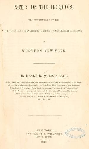
Notes on the Iroquois: or, Contributions to the Statistics, Aboriginal History, Antiquities and General Ethnology of Western New-YorkSchoolcraft, Henry Rowe
History
Notes on the Iroquois: or, Contributions to the Statistics, Aboriginal History, Antiquities and General Ethnology of Western New-York
Schoolcraft, Henry Rowe
Indians of North America -- New York (State); Iroquois Indians
It is probable that at a period of time very far distant, the ground
about “Fort Hill” was, for some considerable distance around, entirely
of the same level, and that by the action of water, a change took
place, which brought about the present condition. The low land
immediately in front to the north, is only the remains of a water
course, which was made up of a stream coming down the gorge of the west
side, and the present “Allen’s creek,” which flows through a portion
of the gorge of the east side, the stream of the west having been a
branch of that of the east side. Through the west gorge now flows, in
the wet season, a moderate stream, coming from the lands above the
gorge, and having an interrupted fall of some forty or fifty feet;
while “Allen’s creek” occupies a portion of the eastern gorge, much
broader, at the extremity of which, some half a mile from the “Hill,”
there is a beautiful fall of eighty feet perpendicularly. The structure
of the “Hill” bears out this construction; it being composed of the
same rock—with the exception of the upper strata—as the falls. At
the falls the upper strata of rock and that which forms the bed of the
creek for some two miles or more east, is the _corniferous limestone_;
underlaying which are _hydraulic_ and _Onondaga limestones_. The two
latter are only seen at “Fort Hill,” covered by a few feet of soil and
several small masses of stone, a part out of place, among which are a
few of _Medina sandstone_. The strata are, therefore continuous from
the falls, and at some former periods, extended over the gorges, and
formed a regular and nearly level surface, the action of water having
removed, which has left the broad and conspicuous point of “Fort Hill,”
as memorable monuments of the earlier condition of the country.
When “Fort Hill” was used as a fortification the summit was entrenched.
Forty years ago an entrenchment, ten feet deep and some twelve or
fifteen wide, extended from the west to the east end, along the north
or front part, and continued up each side about twenty rods, where it
crossed over and joining, made the circuit of entrenchment complete. At
this day a portion of this entrenchment is easily perceived for fifteen
rods along the extreme western half of the north or front part, the
cultivation of the soil, with other causes, having nearly obliterated
all other portions. It would seem that this fortification was arranged
more for protection against invasion from the north than from any other
quarter, this direction evidently being its most commanding position.
Near the northwest corner have, at different times, been found
collections of rounded stones of hard consistence, which are supposed
to have been used as weapons of defence by the besieged against the
besiegers.
Public-domain text, read in full here on John Shaqi.
Reviews
Reviews
No reviews yet
Be the first to share your thoughts on this work.
Elsewhere in the archive
Join the Discussion
Join the discussion
Sign in to leave a comment or review.
Sign InorCreate an account