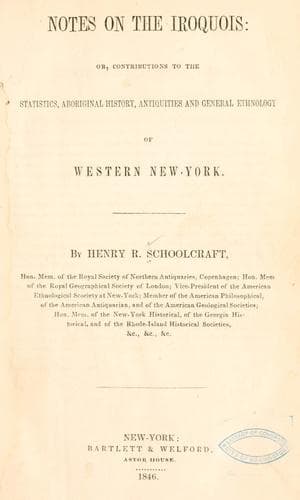
Notes on the Iroquois: or, Contributions to the Statistics, Aboriginal History, Antiquities and General Ethnology of Western New-YorkSchoolcraft, Henry Rowe
History
Notes on the Iroquois: or, Contributions to the Statistics, Aboriginal History, Antiquities and General Ethnology of Western New-York
Schoolcraft, Henry Rowe
Indians of North America -- New York (State); Iroquois Indians
The work occurs on an elevated point of land formed by the junction of
a small stream, called Fordham’s brook, with Allen’s creek, a tributary
of the Genesee river. Its position is about three miles north of the
village of Le Roy, and some ten or twelve northeast of Batavia. The
best view of the hill, as one of the natural features of the country,
is obtained a short distance north of it, on the road from Bergen to Le
Roy.
To attain a proper conception of its susceptibilities and capacity,
as the site of a work of defence, it is essential to conceive the
country, for some distance, to have had the level of the extreme plain,
forming the highest part of the fort. The geological column of this
plain, after passing down through the unconsolidated strata, appears
to be composed of various strata of corniferous limestone, Onondaga or
hydraulic limestone, and perhaps Medina sandstone. Geological causes,
originating, so far as we can immediately perceive, in the two streams
named, have cut down this series of stratifications, on the north,
east and west, unequally, to the depth of some eighty or ninety feet,
isolating the original plain, on three sides, by the vallies of Allan’s
creek and Fordham brook. Availing themselves of this heavy amount of
natural excavation, the ancient occupants of it further strengthened
its position, by casting up a wall and ditch along the brow of the two
vallies, at the points of their junction, from A. to B., 60 rods; from
A. to D., 30 rods; and from B. to C. 15 rods. This is as much of the
embankment as now remains; but tradition adds, that, on the earliest
occupancy of the county, there were evidences that the work had been
continued south from the extreme points, C. and D., and connected by
an enclosure, parallel to A. B., which would have given it a regular
quadrangular shape. The encroachments of the respective vallies, at C.
and D., now terminate the trench. And if we concede that geological
changes of this kind must have required some time for their production,
by the present power of action possessed by the streams named, it is
an argument for the antiquity of the work. But, however antique, it
was still the effort of a rude, and at best half civilized people, at
an epoch when bows and arrows, clubs, spears and stones, and the stone
_casse-tete_,[66] were the principal weapons of defence. For these are
the chief objects of antiquarian interest dug from the ground. There
are also disclosed by the place or its vicinity, the amuletum archæus
and other amulets of sea shell, bone and fossil stone, which were
so much prized by the ancient red races of this continent, by whom
they were manufactured, and exclusively used before the era of the
discovery. That the spot continued, however, whether a ruin or not, to
be visited or occupied, after this era, is proved by some remains of
art, which were found here and described by Mr. Follet, in a letter,
which constitutes a valuable part of the materials employed in this
Public-domain text, read in full here on John Shaqi.
Reviews
Reviews
No reviews yet
Be the first to share your thoughts on this work.
Elsewhere in the archive
Join the Discussion
Join the discussion
Sign in to leave a comment or review.
Sign InorCreate an account