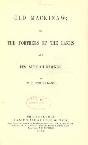
Old Mackinaw; Or, The Fortress of the Lakes and its SurroundingsStrickland, W. P. (William Peter)
History
Old Mackinaw; Or, The Fortress of the Lakes and its Surroundings
Strickland, W. P. (William Peter)
Great Lakes (North America); Mackinac Island (Mich. : Island) -- History; Michigan -- History
Our object in this chapter is to notice the various routes of travel
to the interesting localities in the Northwest. During the summer
months the most pleasant mode of conveyance is by water. The Hudson
River boats, compared with which no inland steamers are superior,
leave, every day, the foot of Courtland street for Albany. By taking
passage on an evening boat, after a quiet night's rest the traveler
will find himself at Albany the next morning, where he can take the
cars for Buffalo, at which point he will be able to take a steamer for
Detroit. From thence he can take a steamer for Superior City, passing
through Lakes St. Clair and Huron, and up the Saut St. Mary to Lake
Superior. On the route from the Saut he will pass the following
points, Point Iroquois, White-Fish Point, Point Au Sable, Pictured
Rocks, Grand Island, Marquette, Manitou Island, Copper Harbor, Eagle
Harbor, Eagle River, Ontonagon, La Point, Bayfield and Point De Tour.
The usual time occupied in passing over this route is about
twenty-four hours. In leaving the Saut above the Rapids the steamer
enters Lequamenon, passing Iroquois Point fifteen miles distant on the
southern shore, while Gros Cap, on the Canada shore, can be seen
about four miles distant. The porphyry hills, of which this point is
composed, rise to a height of seven hundred feet above the lake, and
present a grand appearance. North of Gros Cap is Goulais Bay, and in
the distance a bold headland named Goulais Point can be seen. Indeed
the whole north shore presents a scene of wild grandeur. Near the
middle of Lequamenon Bay is Parisien Island which belongs to Canada;
opposite to this island on the north is seen Croulee Point, an
interesting locality in the vicinity of which are numerous islands.
Still further on the steamer passes Mamainse Point, another bold
headland once the seat of the works of the Quebec Copper Mining
Company, but now abandoned in consequence of their unproductiveness;
some fifteen or twenty miles further north, is located the Montreal
Company's copper mine. The traveler has now fairly entered the vast
mineral region of Lake Superior, and passes along a coast hundreds of
miles in extent, "abounding in geological phenomena, varied mineral
wealth, agates, cornelian, jasper, opal, and other precious stones,
with its rivers, bays, estuaries, islands, presque isles, peninsulas,
capes, pictured rocks, transparent waters, leaping cascades, and bold
highlands, lined with pure veins of quartz, spar and amethystine
crystals, full to repletion with mineral riches, reflecting in
gorgeous majesty the sun's bright rays, and the moon's mellow blush;
overtopped with ever verdant groves of fir, cedar, and mountain ash,
while the back ground is filled up with mountain upon mountain, until,
rising in majesty to the clouds, distance loses their inequality
resting against the clear vault of Heaven."
Public-domain text, read in full here on John Shaqi.
Reviews
Reviews
No reviews yet
Be the first to share your thoughts on this work.
Elsewhere in the archive
Join the Discussion
Join the discussion
Sign in to leave a comment or review.
Sign InorCreate an account