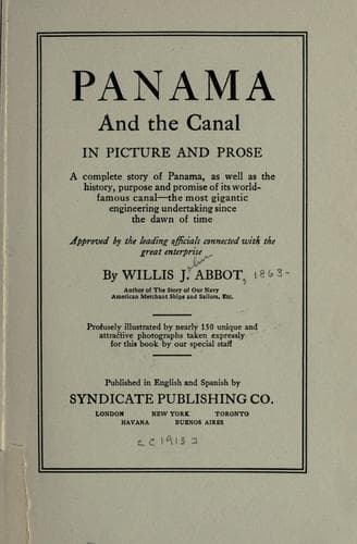
Panama and the Canal in Picture and ProseAbbot, Willis J. (Willis John)
History
Panama and the Canal in Picture and Prose
Abbot, Willis J. (Willis John)
Panama Canal (Panama) -- History
In the original plans for the harbor of Cristobal a second breakwater
was proposed to extend at an angle to the guard one, but the success of
the former in breaking the force of the seas that are raised by the
fierce northers that blow between October and January has been so great
that this may never be needed. Its need is further obviated by the
construction of the great mole of stone and concrete which juts out from
the Cristobal shore for 3500 feet at right angles to the Canal. From
this mole five massive piers will extend into the harbor, jutting out
like fingers on a hand, each 1000 feet long and with the space between
them 300 feet wide so that two 1000 foot ships may dock at one time in
each slip. The new port of Cristobal starts out with pier facilities
which New York had not prepared for the reception of great ships like
the “Vaterland” and the “Aquitania” at the time of their launching.
[Illustration: ENTRANCE TO GATUN LOCKS
The rafts in the foreground carry pipes through which suction dredges
discharge material removed]
[Illustration: I. COLON: THESE PICTURES IN ORDER FORM A PANORAMA OF THE
COLON WATER FRONT]
[Illustration: II. COLON: PART OF THE RESIDENTIAL DISTRICT ON THE WATER
FRONT]
[Illustration: III. COLON: PANAMA RAILROAD AND ROYAL MAIL DOCKS]
[Illustration: IV. COLON: THE DE LESSEPS HOUSE IN THE DISTANCE SHOWS
LOCATION OF NEW DOCKS]
From the shore of the bay to the first Gatun lock is a little less than
four miles. The French dug a canal penetrating this section, a canal
which forms today part of our harbor and which has been used to some
extent for the transportation of material for the Gatun dam. Our
engineers however abandoned it as part of our permanent line, and it is
rapidly filling up or being over-grown by vegetation. At its best it was
about fifteen miles long, 15 feet deep as far as Gatun, and 7 feet deep
thence to the now vanished village of Bohio.
The Canal from the seaboard to the Gatun locks was straightaway
excavation, through land little higher than the water, with tidewater
following so that the work could be done by floating dredges. No novel
problems were presented to the engineer, nor are interesting
achievements displayed to the tourist until the great dam itself is
reached.
[Illustration: _Photo by Underwood & Underwood_
SOUTH APPROACH WALL, GATUN LOCKS]
Public-domain text, read in full here on John Shaqi.
Reviews
Reviews
No reviews yet
Be the first to share your thoughts on this work.
Elsewhere in the archive
Join the Discussion
Join the discussion
Sign in to leave a comment or review.
Sign InorCreate an account