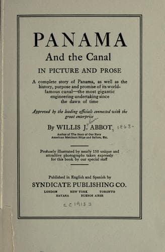
Panama and the Canal in Picture and ProseAbbot, Willis J. (Willis John)
History
Panama and the Canal in Picture and Prose
Abbot, Willis J. (Willis John)
Panama Canal (Panama) -- History
The simplest way of reaching the Gatun dam is of course by train from
Colon, a ride of perhaps twenty minutes. But a more spectacular one is
by launch, either up the Canal, or around by the Chagres River from its
mouth. The latter is a difficult trip however and seldom essayed. One
advantage of taking the Canal is that it gives a much clearer idea of
the construction of the dam than can be derived by approaching it by
railroad. The first significant fact forced upon your attention in thus
coming upon the dam is that it does not look like a dam at all, but
rather like a long and gently sloping hill pierced at one point by a
sort of masonry gate which upon closer approach reveals itself as a
system of mighty locks.
[Illustration: GATUN LOCKS OPENING INTO THE LAKE
The skeleton structure on the left is the frame-work of the emergency
dam which swings directly athwart the lock]
Not very long ago there was a wide-spread apprehension in the United
States, bred of a rather shallow newspaper criticism very widely
republished, that the Gatun dam would prove inadequate to the pressure
of the waters impounded behind it and might collapse, or “topple over”.
If all who have been impressed by that gruesome prophecy could see the
dam itself their apprehensions would be speedily quieted. One might as
well talk of toppling over the pyramids, or Murray Hill, New York (not
the structures on it, but the hill itself) or the Treasury Building at
Washington. Elevations, natural or artificial, the base of which is
eight to ten times their height, cannot topple over while the force of
gravity continues to operate. Now the height of Gatun dam is 105 feet,
and from its crest the filling of clay and rock slopes gently away on
the landward side for nearly half a mile. There are more abrupt
eminences on many of our rolling prairies. The face on the lake side
descends somewhat more abruptly, but is still several hundred feet long
before its slope ends with the bed of the lake. This face is covered
with broken stone down to the “toe”--as they call the walls of rough
rock between which the dirt dam was built.
[Illustration: _Photo by Thompson_
GATUN LAKE SEEN FROM THE DAM]
[Illustration: _Copyright, 1911, by Munn & Co. Inc. From Scientific
American_
BIRD’S EYE VIEW OF GATUN DAM
In the foreground the locks, only two of the three steps being fully
shown. In the middle distance the spillway, through which surplus water
flows into the Chagres and old French Canal]
Public-domain text, read in full here on John Shaqi.
Reviews
Reviews
No reviews yet
Be the first to share your thoughts on this work.
Elsewhere in the archive
Join the Discussion
Join the discussion
Sign in to leave a comment or review.
Sign InorCreate an account