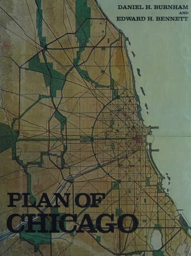
City planning -- Illinois -- Chicago -- History -- 20th century
At the instance of the Special Park Commission legislation has been
enacted to enable the several park authorities to locate parks and
pleasure grounds, of not more than ten acres in extent, in any
portion of their respective districts, and to raise money by bond
issues. On the South Side seventeen new parks, with a total area of
671 acres have been acquired. A feature of these small parks is the
neighborhood-center building, provided with baths, gymnasia, refectory
service, club rooms, and reading rooms for the district served. These
“clubhouses for the people,” as they are called, are in service both
summer and winter. The outdoor swimming-pools and athletic fields are
in charge of expert directors furnished by the authorities. The aim of
the commissioners is to improve the health and morals of the people,
and to stimulate local pride and patriotism; and the work has attracted
international attention. The South Side expansion movement, now nearing
completion, will cost about seven million dollars.
In suggesting additions to the smaller parks, the principle has
been followed of placing them, as far as possible, on the proposed
circuit boulevards. The intersections of these boulevards with
streets will necessarily form round-points, which should be treated
as part of the park system. The same principle of placing is followed
for the larger play parks, in order that they may be reached from
one another by passing through a continuous line of planting. The
question of density of population has been considered with reference
to the relative sizes of those parks which lie within the congested
center, particularly with regard to the first circuit; and although
all such parks cannot be placed adjacent to boulevards, they are
shown connected with one another by important thoroughfares, so that
the natural lines of travel will pass them. The smaller play parks
disregard to some extent the above principles, because these are in the
strictest sense neighborhood centers. The play parks and squares are
thus balanced equally around the civic center, which may be said to be
the center of the varying densities of population. In this way, they
serve to accentuate the scheme of circuits laid down in the system of
circulation on the general plan.
[Illustration: XLIV. CHICAGO, GENERAL MAP SHOWING TOPOGRAPHY,
WATERWAYS, AND COMPLETE SYSTEM OF STREETS, BOULEVARDS, PARKWAYS, AND
PARKS.
The parks and parkways encircle the city; they are placed in relation
to the radiating arteries, and increase in area in proportion to their
distance from the center (green). Also showing railroads (red), the
proposed harbors at the mouths of the Chicago and Calumet rivers, and
the location of outlying townships. The elevation of the ground is
shown by increasing depth of color (orange), from the center of the
city.
COPYRIGHT, 1909, BY COMMERCIAL CLUB OF CHICAGO ]
Public-domain text, read in full here on John Shaqi.
Reviews
Reviews
No reviews yet
Be the first to share your thoughts on this work.
Join the Discussion
Join the discussion
Sign in to leave a comment or review.
Sign InorCreate an account