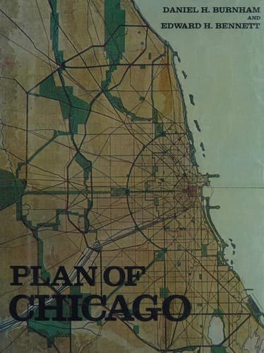
City planning -- Illinois -- Chicago -- History -- 20th century
If Chicago were to be relocated to-day, it would still be placed
at the spot where it now is; and if the streets were again to be
mapped, the same general system would be adopted, because the present
rectilinear street system best comports with the line of the Lake
front which nature has unalterably fixed. The rectilinear system
certainly accords with the ideas of rightness inherent in the human
mind; and also it involves a minimum waste of ground space. Moreover,
the River, for the most part, allows the use of the right-angled
system without playing havoc with the orderly arrangement of the
streets. It is only when and as the city increases in population that
diagonals become necessary in order to save considerable amounts
of time and to prevent congestion by dividing and segregating the
traffic. Thus it happens that no rectilinear city is perfect without
the diagonal streets; and conversely, having the rectilinear system,
the creation of diagonals produces the greatest convenience.
Now, while it happens that the planning of a new city imposes
straightness as a duty, and diagonals as a necessity, it is equally
true that a virtue should be made of these hard-and-fast conditions.
There is a true glory in mere length, in vistas longer than the eye
can reach, in roads of arrow-like purpose that speed unswerving in
their flight; and when and where the opportunity of level ground
permits, this glory should be sought after. Older cities may indeed
bend and curve their new streets to preserve what is picturesque or
historic; but new cities, built on level country, should see to it
that as subdivisions are platted, the streets and avenues shall be
adequate to bear the traffic which will come to them from the city
itself, and that such thoroughfares shall form an integral part of
the entire system of circulation.
[Illustration: XCVII. THEORETICAL DIAGRAM OF THE STREETS OF PARIS.
REPRODUCED FROM “LES TRANSFORMATIONS DE PARIS,” BY M. E. HÉNARD]
At the same time the elliptical avenue may be used to introduce
variety, and especially to serve as a link to connect parks. Chicago
had no encircling fortifications to turn into boulevards such as
those which beautify and distinguish the cities of Vienna, Brussels,
Rouen, Milan, and especially Paris; but such avenues may well be
created in order to relieve the monotony of the straight streets.
One such great parkway is shown on the plans, and it requires but a
glance to recognize the effectiveness of such a thoroughfare.
[Illustration: XCVIII. THEORETICAL DIAGRAM OF THE STREETS OF MOSCOW.
REPRODUCED FROM “LES TRANSFORMATIONS DE PARIS,” BY M. E. HÉNARD ]
Public-domain text, read in full here on John Shaqi.
Reviews
Reviews
No reviews yet
Be the first to share your thoughts on this work.
Elsewhere in the archive
Join the Discussion
Join the discussion
Sign in to leave a comment or review.
Sign InorCreate an account