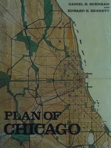
City planning -- Illinois -- Chicago -- History -- 20th century
Having discussed the general principles applicable to the arrangement
and development of streets within a city, we come to the specific
problem. The city of Chicago now extends for about twenty-six miles
along the Lake front, and has a width of not more than seven miles.
It is apparent that as population increases, the entire territory
between the present western boundaries and the Des Plaines River
will become thickly settled, and that as this occupation proceeds
the pressure of the increased numbers to reach the business district
and the Lake front will work serious congestion, unless additional
thoroughfares shall be created in order to add to transit facilities
inadequate even at the present time. Obviously it is idle to expect
those who plat subdivisions for the mere purpose of selling land to
make provision for a circulatory system sufficiently comprehensive
to meet the requirements of a growing city. That task belongs to the
city itself, and the only way in which it can be accomplished is by
the preparation and adoption of a plan for platting all those lands
adjacent to the city which are reasonably certain to be included
within the enlarged boundaries. The entire territory extending
westward to the Des Plaines should be laid out to meet future
requirements, with the requisite area for residences, as well as
wide thoroughfares for traffic, well-planned diagonals to gather and
distribute the travel, and adequate park spaces. As the architects of
Louis XIV. laid out streets and avenues of Paris far in advance of
occupation, and as the United States government adopted a plan for
the development of the entire District of Columbia in accord with
the original L’Enfant plan, so the authorities of Chicago should see
to it that when and as new subdivisions are platted in any portion
of Cook County not now included within the city boundaries, the
thoroughfares in those subdivisions shall be fitted to care for the
traffic that will be imposed upon them by reason of their location in
relation to the business district.
[Illustration: XCIX. THEORETICAL DIAGRAM OF THE STREETS OF BERLIN.
REPRODUCED FROM “LES TRANSFORMATIONS DE PARIS,” BY M. E. HÉNARD]
The functions of the diagonals and circuits proposed for the area
impinging upon the business district are three in number: first,
to allow traffic seeking the center to reach its destination
expeditiously; secondly, to divert from the center traffic not having
its objective point within the central area; and, thirdly, to afford
direct passage through the center in those cases where such crossing
is necessary.
[Illustration: C. THEORETICAL DIAGRAM OF THE STREETS OF LONDON.
REPRODUCED FROM “LES TRANSFORMATIONS DE PARIS,” BY M. E. HÉNARD]
Public-domain text, read in full here on John Shaqi.
Reviews
Reviews
No reviews yet
Be the first to share your thoughts on this work.
Elsewhere in the archive
Join the Discussion
Join the discussion
Sign in to leave a comment or review.
Sign InorCreate an account