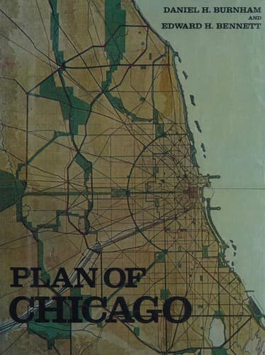
City planning -- Illinois -- Chicago -- History -- 20th century
The matter of widening avenues by means of regulating the frontage
is largely one of conservation. That is to say, along streets
where residences predominate the thoroughfare should be widened by
acquiring all the property to the line of the buildings, so that
as the street changes its character from a residence to a business
thoroughfare it shall not be narrowed at the very time when greater
width is desirable. In short, the city should acquire and own the
front yards, just as the Federal government owns the space between
houses and sidewalks in Washington. For example, Chicago Avenue gives
one the impression of a splendid boulevard, owing to the fact that
the buildings are set well back from the street; but eventually the
avenue will be narrowed to 100 feet, unless the yard spaces shall be
acquired, as acquired they can be at small expense, so long as the
purpose is to keep the space open.
[Illustration: CI. CHICAGO. VIEW OF GRAND BOULEVARD.]
The diagonals are the most useful and necessary arteries. Those
belonging to the first circuit passing around the business center are
as follows:
Chicago Avenue and Lincoln Park Boulevard to Milwaukee Avenue and
Canal Street, crossing the river north of the junction of its three
branches;
From the intersection of Washington and Canal streets running to
Halsted and Congress streets;
From Halsted and Congress streets to Twelfth and Canal streets,
and from the latter intersection across the river at Sixteenth
Street to Archer Avenue at State Street and Cottage Grove Avenue at
Twenty-second Street.
For the most part, these diagonals would run through wholesale
and manufacturing districts, passing near some of the railroad
freight yards and intercepting the traffic to the city from the
other outlying freight yards. This traffic, once having reached
the circuit, would make use of it as a means of getting around the
congested district.
[Illustration: CII. CHICAGO. VIEW OF THE LAKE SHORE DRIVE.]
[Illustration: CIII. CHICAGO. PLAN OF THE CITY, SHOWING THE GENERAL
SYSTEM OF BOULEVARDS AND PARKS EXISTING AND PROPOSED.
The boulevards are planned to form a continuous system of
circulation; the parks are related closely to the boulevard system,
and are located, wherever possible, in connection with them.
COPYRIGHT, 1909, BY COMMERCIAL CLUB OF CHICAGO]
Public-domain text, read in full here on John Shaqi.
Reviews
Reviews
No reviews yet
Be the first to share your thoughts on this work.
Elsewhere in the archive
Join the Discussion
Join the discussion
Sign in to leave a comment or review.
Sign InorCreate an account