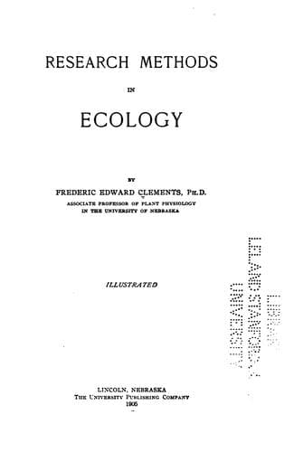
Research methods in ecologyClements, Frederic E. (Frederic Edward)
Science
Research methods in ecology
Clements, Frederic E. (Frederic Edward)
Plant ecology; Plant ecology -- Methodology
It is obvious that the above outline is faulty inasmuch as it takes no
account of the height and width of the individuals. This is a serious
defect, and it constitutes one of the many reasons why the list quadrat
should be replaced by the chart quadrat. The prairie formation affords
an unusually striking illustration of this. A single quadrat may be
filled by ten plants of _Psoralea floribunda_, and at the same time
contain 22,000 plants of _Festuca octoflora_. Yet the former is
conspicuous and controlling, the latter plays an altogether
insignificant role. This difference is readily shown by comparing a
plant of each. The one is 3 × 3 feet, the other 3 × ¼ inch. Such figures
furnish a valuable check upon mere number, but make the brief, graphic
designation of abundance difficult. An attempt has been made to solve
this problem by roughly determining the space occupied by the plant, by
means of the formula, height (π_R_^2) × abundance. This would give
_Psoralea_ a value of 210, and _Festuca_ one of 1.6, which much more
nearly represents their real importance in the formation. Abundance or
numerical value is a floristic concept entirely, and has little place in
ecology unless checked in the way indicated. The whole problem,
ecologically, depends upon an intimate knowledge of competition, and its
solution in consequence is at present impossible.
_The Chart Quadrat_
=207. Description and use.= The detailed labor required in mapping makes
it advisable to use the meter quadrat. An additional reason of much
importance is furnished by the desirability of securing a detail
photograph of the quadrat. This is impossible with field cameras, which
should not exceed 6½ x 8½ inches, and are indeed most serviceable in the
4 × 5 size, if the area be larger. In open formations, the major quadrat
of 2 meters can be used if necessary, but this is very rarely the case.
Forest quadrats of ten meters square are easily charted, but detail
photographs can not be made of them. Larger quadrats are impracticable;
they can be counted but not mapped to advantage. The location of the
chart quadrat must be decided by the structure to be studied. Its
greatest service is in connection with zones and societies of the same
formation, which can be easily compared in the chart form. In fact, the
chart quadrat may well be regarded as the fundamental method for inquiry
into zonation and alternation. It is an important aid in delimiting
areas from the contiguous formations, and in determining the
relationships of mixed formations. It is also used to record the
character of the different aspects, but this is done more satisfactorily
by the permanent quadrat.
Public-domain text, read in full here on John Shaqi.
Reviews
Reviews
No reviews yet
Be the first to share your thoughts on this work.
Elsewhere in the archive
Join the Discussion
Join the discussion
Sign in to leave a comment or review.
Sign InorCreate an account