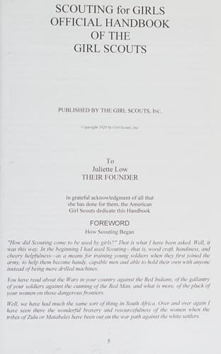
Scouting For Girls, Official Handbook of the Girl ScoutsGirl Scouts of the United States of America
History
Scouting For Girls, Official Handbook of the Girl Scouts
Girl Scouts of the United States of America
Girl Scouts -- Handbooks, manuals, etc.
Distance is shown by what is known as scale. It would be impossible and
unnecessary in making a map to use the exact measurements of distances
existing in any given portion of the country, but we can indicate those
distances by drawing our map even though very small so that lines,
angles, circles and dots will bear the same relation to each other as
the points they represent bear to each other. This is done by using a
small measure to represent a large measure. If 1 inch was used to
represent a mile, a map showing 80 square miles of ground, measuring
8x10 miles could be drawn on a comparatively small piece of paper.
Whatever scale is used must be noted on the map, however.
The true distances are found by pacing or by triangulation. The
interesting, helpful and necessary points are learned by observation.
These are the real guides when using a map and these should be placed
most correctly. Some of the symbols most generally used in map making
are shown in the accompanying cut.
To be able to read a map is quite as important as making one. Signs must
be understood, distances read, and directions known. It will help in
ascertaining the latter point to hold the map so its position will be
true to the points of the compass--the East to the East. This is called
orienting a map.
[Illustration: CONVENTIONAL SIGNS OF MAP MAKING
Camp Post office Telegraph
office
City, Town or Buildings Church
village
School W. W. Hos.
Water works Hospital
Windmill cem. Ruins
Cemetery
Fence Barbed smooth Stone
(any or board) Wire Fence Fence
Wagon Footpath or Wagon Road
Road Trail (unfenced)
Railroad Double Track Trolley
Station R. R. Line]
[Illustration:
general symbol streams spring
or
Foot Falls and
Rapids or
Bridges
Telegraph Lines
Ferries Grassland Cultivated
Fields
Lake or Pool Corn Cotton
Marshes Orchard
Woods of Any Kind Pine Woods
MORE CONVENTIONAL SIGNS OF MAP MAKING]
Public-domain text, read in full here on John Shaqi.
Reviews
Reviews
No reviews yet
Be the first to share your thoughts on this work.
Elsewhere in the archive
Join the Discussion
Join the discussion
Sign in to leave a comment or review.
Sign InorCreate an account