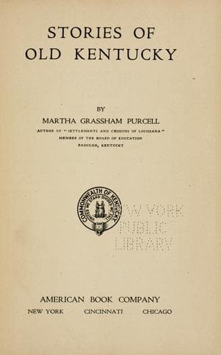
Stories of Old KentuckyPurcell, Martha C. Grassham, Mrs.
History
Stories of Old Kentucky
Purcell, Martha C. Grassham, Mrs.
Kentucky -- History
Christian County contains also some sinking streams, forks of Little
River, beside Pilot Rock, which rests upon elevated ground, has a
comparatively level summit, covers about one half acre of ground, and is
about two hundred feet high. This county also contains a natural bridge,
which crosses a deep ravine with an artistic arch of sixty feet, and is
thirty feet in height.
Picturesque falls, ninety feet high, are found in Clinton County, while
"Rock House," forty feet high and about sixty feet square, is located in
Cumberland.
In Edmonson County, besides the wonderful Mammoth Cave, there is "Dismal
Rock," almost perpendicular and one hundred and sixty-three feet high.
In Grant County, for many years an object of great curiosity, was an
immense poplar tree, nine feet in diameter; it is said a man on
horseback, after it lay prostrate, could barely touch the top of the
trunk with the tips of his fingers.
A natural fortification, a circular tableland, from fifty to one hundred
and twenty-five feet high, impossible of ascent except in one place, is
an object of great interest in Hancock County.
In Jessamine County, amid awful grandeur and gloom, the Devil's Pulpit
is found, with a total elevation of three hundred feet.
In Lincoln County the Knobs, some with a base one hundred and fifty
yards in diameter, two hundred feet high, and entirely destitute of
vegetation, attract great attention.
Mantel Rock, or Natural Bridge, in Livingston County, in picturesqueness
rivals the far-famed Natural Bridge of Virginia. This rock, resting
against the hillside, is eight and three fourths feet thick and twenty
feet wide; its arch spans two hundred and twenty feet. One of the
paintings that attracted most attention in the Kentucky building at the
St. Louis World's Fair was the artistic reproduction of this picturesque
place by Mrs. Georgia McGrew Edwards.
In Lyon County, near Eddyville, 1848, several men explored a cavern for
half a mile, where a large stream of water, an underground river, was
found to be flowing.
About three miles from Benton, in Marshall County, on a high hill, there
is a lake about sixty yards in diameter, whose depth is unknown; its
waters neither rise nor fall, but stand about fifty feet above the bed
of the creek below.
In Meade County, between Salt River and Sinking Creek, are several knobs
and groves that the pioneers used as points of observation from which to
detect the movements of the Indian parties just after they crossed to
the south side of the Ohio River.
Bardstown, in Nelson County, is built on an elevation under which is a
natural tunnel, several feet in diameter, of circular form, reaching
from the eastern to the western extremity of the eminence.
Owen County has several objects of interest, among them being Point of
Rocks, about seventy-five feet high, overhanging Deep Hole, whose depth
has never been ascertained.
Public-domain text, read in full here on John Shaqi.
Reviews
Reviews
No reviews yet
Be the first to share your thoughts on this work.
Elsewhere in the archive
Join the Discussion
Join the discussion
Sign in to leave a comment or review.
Sign InorCreate an account