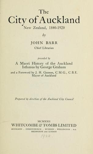
The City of Auckland, New Zealand, 1840-1920Barr, John
History
The City of Auckland, New Zealand, 1840-1920
Barr, John
Auckland (N.Z.) -- History
Captain Hobson did not long survive the foundation of Auckland.
He died on September 10th, 1842. His remains were interred in the
burial-ground at Symonds Street, all the officers of the Government,
as well as the civilian population, being present at the funeral.
In a political sense we have no interest in Captain Hobson, but
the question of the choice of the Waitemata as the capital has an
interest for us. We feel constrained therefore to pay tribute to the
man who chose, with the instinct of a city-maker, the site upon which
Auckland now stands. He discarded the Tamaki, for its obvious defects;
he rejected the upper reaches of the Waitemata, and he chose the
situation which has proved to be the most natural and effective for a
new and constantly-increasing city. Other men, such as the late Sir
John Logan Campbell, may have more substantial claims in actual work
for the community and in precedence of time to the title of "Father
of Auckland"; for Logan Campbell had settled in the Waitemata before
Captain Hobson had fixed upon Auckland as the site of the city, but
in actually making the choice, Hobson is, I claim, entitled without
opposition to be called the father of Auckland.
Auckland in the early 'forties had a very different appearance from the
city of to-day. Indeed, it is one of the fascinations in writing about
Auckland to follow its growth from untamed natural country to a city
state; it is also one of its drawbacks, for changes have been so rapid
and thorough that the original condition is completely obliterated.
The boundaries of the original town (see Land Deed of the City of
Auckland, _f._ p. 40) were as follows:--It commenced at Cox's Creek
and followed the coast until Hobson's Bay was reached at a point where
Brighton Road now meets the waterfront, thence inland in an irregular
line to Mount Eden, and from there back to Cox's Creek. The waterfront
naturally shows the greatest alteration. Commercial Bay was the
principal part of the waterfront. At that time the sea came right up
to the foot of Shortland Crescent. Commercial Bay then swept eastward
to a headland, which was first called Flagstaff Hill, but was renamed
Point Britomart, after H.M. brig _Britomart_. Later still, when the
promontory was utilised as a military station, the "Point" was changed
to "Fort." Continuing in the same direction were Official and Mechanics
Bays. On the western side the most prominent bay in proximity to the
city was Freeman's Bay. The appearance of the waterfront at this period
was more picturesque than at the present time; the bays were prettier,
and the vegetation covered the land right to the water's edge.
Public-domain text, read in full here on John Shaqi.
Reviews
Reviews
No reviews yet
Be the first to share your thoughts on this work.
Join the Discussion
Join the discussion
Sign in to leave a comment or review.
Sign InorCreate an account