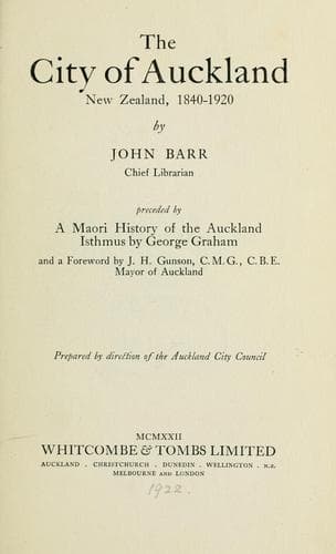
The City of Auckland, New Zealand, 1840-1920Barr, John
History
The City of Auckland, New Zealand, 1840-1920
Barr, John
Auckland (N.Z.) -- History
The Elam School of Art, which was established by the will of the late
Dr. J. E. Elam, who bequeathed a sum of £6500 for the purpose, was
located in the Public Library building from 1890 until 1915; in this
year the school was moved to a new building which had been erected in
Rutland Street.
The work of the Harbour Board, as far as the city is concerned, has
been devoted principally to reclamation and wharves. Prior to the
constitution of the Harbour Board, the port was under the control of
the Provincial Council. Some reclamation had been carried out by that
body, for at the time of the transference of the control from the
Provincial Council to the Board considerable alteration had taken place
on the foreshores. In the 'forties, Commercial Bay swept round from
Britomart Point along a beach, which subsequently became Fort Street,
to a headland known successively as Stanley Point and Smales Point.
This promontory stood in the vicinity of Albert Street and Customs
Street West. By 1870 the foreshore had been reclaimed, and Customs
Street East added to the city's highways. At that date Customs Street
ended at the foot of a cliff, and a long flight of steps, known as
"Jacob's Ladder," led up to Emily Place. On the western side of Queen
Street, Customs Street finished at the waterfront opposite Albert
Street.
The wharf accommodation in 1870 was very small indeed. The first
Auckland wharf was the Wynyard Pier, which was built in the 'forties,
and was situated in Official Bay in a direct line from Short Street.
Commercial Bay had from the first been selected as the shipping centre
of Auckland, and by 1852, one can gather from Hogan's engraving (p. 72)
that considerable work has been expended upon the improvement of the
facilities for loading and unloading vessels. The Queen Street Wharf
has always been the principal wharf, but in 1852 there was a small pier
leading from the lane which ran from the Victoria Hotel to Shortland
Street, and east of Graham's Bond (a stone building which still stands
in Fort Street, but at that time was right on the waterfront) there
was a landing stage. Between 1852 and 1870 a new wooden wharf replaced
the Queen Street one, another was erected opposite Gore Street, and a
breakwater had been built from Britomart Point.
This was the state of the waterfront when the Harbour Board undertook
the management of the port.
One of the earliest tasks the Board undertook was the demolition of
Point Britomart, which occupied several years to accomplish. The spoil
was used for reclamation between that point and Queen Street, and on
this area the railway yards, electric power station, cold stores, and
other establishments have been built, adding Quay Street to the number
of city thoroughfares.
Public-domain text, read in full here on John Shaqi.
Reviews
Reviews
No reviews yet
Be the first to share your thoughts on this work.
Elsewhere in the archive
Join the Discussion
Join the discussion
Sign in to leave a comment or review.
Sign InorCreate an account