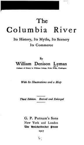
The Columbia River: Its History, Its Myths, Its Scenery, Its CommerceLyman, William Denison
History
The Columbia River: Its History, Its Myths, Its Scenery, Its Commerce
Lyman, William Denison
Columbia River; Columbia River -- Description and travel; Columbia River -- History
Glacier is the great resort in the Selkirks. This splendid resort has
attractions in some respects superior to those of Banff, Lake Louise, or
Field. It is in the very heart of the Selkirks. The Great Glacier is only
a mile and a half distant, a glacier which is said to cover an area of two
hundred square miles; more than all the glaciers of Switzerland combined.
From the watch tower at Glacier, this mass of ice, twisted and contorted,
with all the colours of the rainbow playing upon it, is one of those
visions of elemental force which only great mountains reveal. Like all the
glaciers of the Northern Hemisphere, this is receding at a rapid rate. A
record on the rock indicates the point to which the ice attained in July,
1887, and the ice is now over seven hundred feet distant from that point.
The Asulkan Glacier is a more beautiful sight, as viewed from Abbott
rampart, than the Great Glacier. Every traveller should climb the trail to
Abbott in order to get that sight. And with it he will view the twin peaks
of Castor and Pollux yet farther south, while to the north the splendid
peaks of Cheops, Hermit, and Cougar dominate the majestic wilderness.
[Illustration: Bridge Creek, a Tributary of Lake Chelan, Wash. Photo. by
F. N. Kneeland, Northampton, Mass.]
But the most striking single sight is the granite monolith of Sir Donald.
This is almost a counterpart of the Matterhorn of Switzerland, though not
so high. It rises in one huge block to a height of 10,808 feet. It has
been climbed, though this is one of the most daring and difficult of
climbs. From the dizzy spire there is visible a perfect map of peaks,
rivers, valleys, and lakes. It is said that a hundred and twenty glaciers
can be seen.
From Sir Donald and the Great Glacier issues the Illecillewaet River,
well-named, for this means the "swift flowing." From its source in the
Great Glacier to its entrance of the Columbia it descends thirty-five
hundred feet in forty-five miles. It is swift. One of the most interesting
places on this section of the road is the "Loops," a place where the track
has to descend five hundred and twenty-two feet in seven miles. To
accomplish this, it has been carried in a "double S" around the bases of
Mts. Ross and Bonney. So close are the tracks that the two parts of the
loop a mile in length are not more than eighty feet apart, one being
almost perpendicularly above the other. Some miles farther down is the
Albert Canyon on the Illecillewaet. On this point the distinction has been
conferred of a complete pause of the train, while from it the passengers
hasten to a platform to gaze down the perpendicular walls three hundred
feet to the white torrent tearing its way through the rock.
Public-domain text, read in full here on John Shaqi.
Reviews
Reviews
No reviews yet
Be the first to share your thoughts on this work.
Elsewhere in the archive
Join the Discussion
Join the discussion
Sign in to leave a comment or review.
Sign InorCreate an account