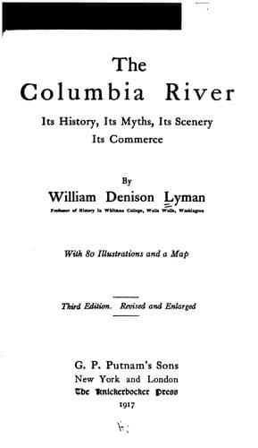
The Columbia River: Its History, Its Myths, Its Scenery, Its CommerceLyman, William Denison
History
The Columbia River: Its History, Its Myths, Its Scenery, Its Commerce
Lyman, William Denison
Columbia River; Columbia River -- Description and travel; Columbia River -- History
And now we must retrace our course after this long detour through the
productive land bordering the tributaries of the River or we can in
imagination fly on the wings of the south wind, which almost always blows
across the Inland Empire, and find ourselves again at Wenatchee in order
to resume our interrupted journey down the River. From Wenatchee to the
foot of Priest Rapids, about sixty miles, there is no regular steamboat
communication. We can, however, use the same means of transportation that
we have hitherto used so liberally, imagination, and upon that airy and
convenient ship we can descend the swift and tortuous stream. The fur
brigades used to trust themselves to the skill of their paddles and boldly
descend the rapids, seldom meeting with disaster. There are three
principal rapids in this section of the River, Rock Island, Cabinet, and
Priest. In the first the River is very narrow and split in sunder by
ragged pinnacles of basaltic rock. At first observation it looks a
reckless thing to push a boat out into the white water whirling through
these fantastic points of rock. Yet a bateau or canoe skilfully handled
will plunge like a race-horse down the foaming stretch, and emerge below
bow down with little water aboard and inmates intact. Steamboats have both
descended and ascended this rapid, though it is considered a somewhat
dangerous performance. Cabinet Rapids are less picturesque and interesting
than Rock Island, but they offer even more serious obstacles to
navigation, the channel being narrow and the water shallow. The river has
cut this part of its course through the great plateau, and its banks on
either side are rocky walls a thousand feet high, with occasional sandy
stretches, sad, barren, and monotonous. There is, in fact, not so much to
catch the eye or enlist the interest of the tourist (if he were here) in
this dismal expanse of rock and sand as there is either above or below. It
is practically uninhabited. But as we proceed upon our way the banks fall
away, wider expanses of land appear, and we discover an occasional band
of cattle or a settler's hut on the generally bare, brown prairie. We are
now approaching the longest rapid and the most serious impediment to
navigation in the whole course of the River from Kettle Falls to Tumwater
Falls. This is Priest Rapids. It is ten miles in length and represents a
descent in the River of seventy feet. It would certainly be impossible of
navigation by steamboats, were it not that the descent is distributed
quite uniformly over the ten miles and the River in general is quite
straight and with a fair depth of water throughout. The old _voyageurs_
had little difficulty in racing down, and they seem to have usually
ascended by _cordelling_ their bateaux beside the rocks, and at some
especially difficult places by lightening the load and carrying around.
Steamers have both ascended and descended, but it is so slow and tedious
Public-domain text, read in full here on John Shaqi.
Reviews
Reviews
No reviews yet
Be the first to share your thoughts on this work.
Elsewhere in the archive
Join the Discussion
Join the discussion
Sign in to leave a comment or review.
Sign InorCreate an account