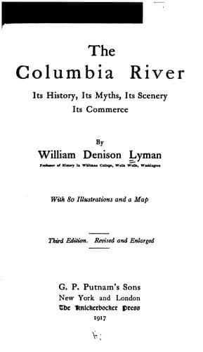
The Columbia River: Its History, Its Myths, Its Scenery, Its CommerceLyman, William Denison
History
The Columbia River: Its History, Its Myths, Its Scenery, Its Commerce
Lyman, William Denison
Columbia River; Columbia River -- Description and travel; Columbia River -- History
The place where River and mountains meet had been heralded to us long
before we reached it. For as we passed the plains of the Umatilla we got
an intimation of the mountain majesty which we were approaching.
Clear-limned against the south-western horizon, a glistening cone,
cold-white in the earliest morning, rosy-red with the rising dawn, and
warm with the yellow halo of noon, fixes our eyes and bids us realise that
from the far vision of a hundred miles we can see and worship at the
shrine of Oregon's noblest and most historic peak, Mt. Hood. As we speed
on down the current we begin to see long lines of lesser peaks rising to
the westward. The prairies of the Umatilla have been succeeded by
picturesque bare hills, and these by ragged palisades of columnar basalt,
with higher hills yet, crowned with gnarled oak-trees. Of the wheat-fields
and orchards and sheep ranges centring at The Dalles, we have already
spoken, and we have paused at Celilo and gazed on the historic "Timm," or
the Tumwater Falls, and the "Big Chute," observing especially the
Government canal and locks now started, from whose completion such vast
commercial possibilities are plainly foreshadowed. Our present quest is
therefore yet farther on, to the gateway of the mountains. This is found
at the "Cascade Locks," fifty miles below Dalles City. The section of
river which we have styled "Where River and Mountain Meet" may be
considered as extending from the mouth of the Klickitat River, a few miles
west of Dalles City, to Rooster Rock, about thirty miles east of
Vancouver. The distance between these points is about fifty miles, and
through this space we may see all the evidences of a titanic struggle
between the master forces of fire and water and upheaval. As we descend
the majestic stream with the majestic banks on either hand and mark the
apparent ancient water-marks hundreds of feet above our heads, we recall
the Indian myth of Wishpoosh in an earlier chapter. The opinion of
geologists in regard to this extraordinary passageway of the River is that
it represents ages of gradual elevation of the mountain chain and a
cotemporary erosion by the River, so that as the heights became higher,
the river bed became deeper. The one-time shore slowly mounted skyward,
and as the new upheavals rose from the ocean deeps the lines of erosion
were in turn wrought on them, and river shore succeeded river shore
through long ages. With these fundamental forces of upheaval and erosion
there were eras of local seismic and volcanic activity, more cataclysmic
in nature, from which there came the magnificent pillars of columnar
basalt and the first trenching of the profound chasms which subsequent
lateral streams carved through the rising base of the great range.
[Illustration: Stehekin Canyon, 5000 Feet Deep. Photo. by W. D. Lyman.]
Public-domain text, read in full here on John Shaqi.
Reviews
Reviews
No reviews yet
Be the first to share your thoughts on this work.
Elsewhere in the archive
Join the Discussion
Join the discussion
Sign in to leave a comment or review.
Sign InorCreate an account