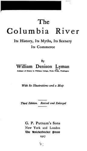
The Columbia River: Its History, Its Myths, Its Scenery, Its CommerceLyman, William Denison
History
The Columbia River: Its History, Its Myths, Its Scenery, Its Commerce
Lyman, William Denison
Columbia River; Columbia River -- Description and travel; Columbia River -- History
As we near the Cascades we note another curious phenomenon. This is the
sunken forest on either side. At low water these old tree trunks become
very observable, and their general appearance suggests at once that they
are the remains of a former forest submerged by a permanent rise in the
river. This explanation is confirmed by the fact that from The Dalles to
the Cascades the river is very deep and sluggish. When we reach the
Cascades a third fact is revealed and that is that at the chief cataract
the river bank is continually sliding into the river. Trees are thrown
down by this slow sliding process, railroad tracks require frequent
adjustment, and on clear, still nights there is sometimes heard a grinding
sound, while a tremor from the subterranean regions seems to indicate that
the upper stratum is sliding over the lower toward the river. In fact, the
mighty force of the stream is all the time eating into the bank and
gradually drawing it down.
From those and other indications the conclusion has been drawn that some
prodigious avalanche of rock at a not long distant time dammed the river
at this point, creating the present Cascades and raising the water above
so as to submerge the forest, whose remains now attract the attention of
the observer at the low stage of water.
To confirm this theory we have the Indian story of the "tomanowas bridge,"
the quaintest and most interesting of the long list of native myths.
The region around the old site of the "Bridge of the Gods" may be
considered as the dividing line between the Inland Empire and the Coast
Region. Above, it is dry, sunny, breezy, and electrical, the land of
wheat-field and sheep ranges, cow-boys and horses and mining camps. Below,
it is cool, cloudy, still, and soft, the region of the clover and the
dairy, the salmon cannery, the logging camp, and boats of every sort.
Above, the rocks look dry and hard, and glitter in the sun. Below, the
rocks are draped in moss, and from every canyon and ledge there seems to
issue a foaming torrent. It is, in truth, the meeting place of mountain
and River.
On all sides around the Cascades there are objects of natural and historic
interest. Stupendous crags, often streaked with snow, lose themselves in
the scud of the ocean which is almost constantly flying eastward to be
absorbed in the more fervid sunshine of up-river. Perhaps the most
impressive of these vast heights is Table Mountain, on the north side of
the River, near the locks, said to have been one of the supports of the
"Bridge of the Gods." Its colours of saffron and crimson add to the
splendour and grandeur of its appearance. Just below the locks on the
north side stood the old blockhouse built by a young lieutenant in 1856 as
a defence against the Klickitat Indians. The blockhouse is now in ruins,
but the name of its builder has been fairly well preserved, for it
is--Phil Sheridan.
Public-domain text, read in full here on John Shaqi.
Reviews
Reviews
No reviews yet
Be the first to share your thoughts on this work.
Elsewhere in the archive
Join the Discussion
Join the discussion
Sign in to leave a comment or review.
Sign InorCreate an account