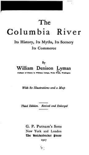
The Columbia River: Its History, Its Myths, Its Scenery, Its CommerceLyman, William Denison
History
The Columbia River: Its History, Its Myths, Its Scenery, Its Commerce
Lyman, William Denison
Columbia River; Columbia River -- Description and travel; Columbia River -- History
With another year a still completer expedition was fitted out, Bruno
Heceta being commander and Francisco de la Bodega y Quadra, second in
command. This voyage was the most important and interesting thus far in
the history of the Columbia River exploration. For Heceta actually found
the Great River, so long sought and so constantly eluding discovery. On
June 10, 1775, Heceta passed Cape Mendocino, and entered a small bay just
northward. There he entered into friendly relations with the natives and
took solemn possession of the country in the name of His Catholic Majesty
of Spain. Sailing thence northward, he again touched land just south of
the Straits of Fuca, but there he met disaster at the ill-omened point
subsequently named Destruction Island. For there his boat landing for
exploration was set upon by the savage inhabitants, and the entire
boat-load murdered. Moving southward again, on August 15th, in latitude 46
degrees 10 minutes, Heceta found himself abreast of some great river.
Deciding that this must be indeed the mysterious Strait of Fuca, or the
long concealed river of the other ancient navigators, he made two efforts
to enter, but the powerful current and uncertain depths deterred him, and
he at last gave up the effort and bore away for Monterey. Three additional
names were bestowed upon the River at this time. Thinking the entrance a
bay, Heceta named it, in honour of the day, Ensenada de Asuncion. Later it
was more commonly known as Ensenada de Heceta, while the Spanish charts
designated the river as Rio de San Roque. The name of Cabo de Frondoso
(Leafy Cape) was bestowed upon the low promontory on the south, now known
as Point Adams, while upon the picturesque headland on the north which we
now designate as Cape Hancock, the devout Spaniards conferred the name of
Cabo de San Roque, August 16th being the day sacred to that saint.
The original account given by Heceta is so interesting that we insert it
here:
On the 17th day of August I sailed along the coast to the 46th degree,
and observed that from the latitude 47 degrees 4 minutes to that of 46
degrees 10 minutes, it runs in the angle of 18 degrees of the second
quadrant, and from that latitude to 46 degrees 4 minutes, in the angle
of 12 degrees of the same quadrant; the soundings, the shore, the
wooded character of the country, and the little islands, being the
same as on the preceding days.
On the evening of this day I discovered a large bay, to which I gave
the name Assumption Bay, and a plan of which will be found in this
journal. Its latitude and longitude are determined according to the
most exact means afforded by theory and practice. The latitudes of the
two most prominent capes of this bay are calculated from the
observations of this day.
Public-domain text, read in full here on John Shaqi.
Reviews
Reviews
No reviews yet
Be the first to share your thoughts on this work.
Join the Discussion
Join the discussion
Sign in to leave a comment or review.
Sign InorCreate an account