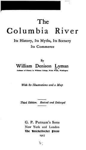
The Columbia River: Its History, Its Myths, Its Scenery, Its CommerceLyman, William Denison
History
The Columbia River: Its History, Its Myths, Its Scenery, Its Commerce
Lyman, William Denison
Columbia River; Columbia River -- Description and travel; Columbia River -- History
On the 18th I observed Cape Frondoso, with another cape, to which I
gave the name of Cape Falcon, situated in the latitude of 45 degrees
43 minutes, and they lay at an angle of 22 degrees of the third
quadrant, and from the last mentioned cape I traced the coast running
in the angle of 5 degrees of the second quadrant. This land is
mountainous, but not very high, nor so well wooded as that lying
between the latitudes of 48 degrees 30 minutes, and 46 degrees. On
sounding I found great differences: at a distance of seven leagues I
got bottom at 84 brazas; and nearer the coast I sometimes found no
bottom; from which I am inclined to believe there are reefs or shoals
on these coasts, which is also shown by the colour of the water. In
some places the coast presents a beach, in others, it is rocky.
A flat-topped mountain, which I named the Table, will enable any
navigator to know the position of Cape Falcon without observing it; as
it is in the latitude of 45 degrees 28 minutes, and may be seen at a
great distance, being somewhat elevated.
It may be added that the Cape Falcon of Heceta was the bold elevation
fronting the sea, known now as Tillamook Head, while the Table Mountain
was doubtless what we now call Nekahni Mountain, both points especially
the scenes of Indian myth.
Such was the actual discovery of the Columbia River, and as such the
Spaniards justly laid claim to Oregon. Their treaty with the United States
in 1819 was the formal conveyance of their claims to us. Nevertheless
Heceta only half discovered the River. It seems very strange that with the
all-important object of two centuries' search before him, he should so
readily have succumbed to the fear of the powerful outstanding current.
But the Spaniards were not in general the patient and persistent students
of the shores that the English and Americans were. Their charts were in
general worthless. Nevertheless Spain came nearest "making good" of any of
the European powers. In 1779 Bodega and Arteaga sailed far north and
sighted a vast snow peak "higher than Orizaba," which was doubtless St.
Elias. In the same year Martinez and De Haro established themselves at
Nootka. Subsequent voyages of Bodega, Valdez, and Galiano, and their first
circumnavigation of Vancouver Island (named by them Quadra's Island, but,
by mutual courtesy and good-will of the British and Spanish rivals,
designated Vancouver's and Quadra's Island), gave them a clear title to
the Pacific Coast of North America from latitude 60 degrees to Mexico.
Public-domain text, read in full here on John Shaqi.
Reviews
Reviews
No reviews yet
Be the first to share your thoughts on this work.
Elsewhere in the archive
Join the Discussion
Join the discussion
Sign in to leave a comment or review.
Sign InorCreate an account