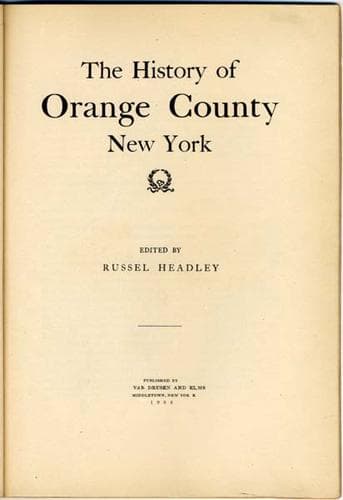
In the article which follows, the writer has endeavored to furnish a
concise history in limited space. As nearly as possible, events are
set down in chronological order. Much of interest concerning the town
that is based only upon tradition is left out and the space devoted
to historical facts that can be authenticated and verified by
records, maps, parchments and the writings of earlier and wiser men.
The County of Orange dates its existence by legal enactment from
October 1, 1691, in the third year of the reign of King William and
Queen Mary, and in the administration of Henry Sloughter, Esq.,
Governor. The First Assembly convened the 9th of April that year. On
October 1 it passed an act, Chapter 17, entitled "An Act to divide
the province and dependencies into shires and counties." Section VII
of this act provided: "The County of Orange to begin from the limits
or bounds of East and West Jersey, on the west side of Hudson's
River, along the said river to the Murderer's Creek, or bounds of the
County of Ulster; and westward into the woods as far as the Delaware
River."
Chapter 94, which became a law October 18, 1701, added to the lands
embraced in the county those of "Magachemeck and Great and Little
Minisinck."
On November 12, 1709, during the administration of Richard
Ingoldsby, Esq., Lieutenant-Governor, the Eighth Assembly passed an
act, Chapter, 202, "to determine, settle and ascertain the bounds and
limits of the County of Orange." This act repealed the clause added
by Chapter 94, and fixed the bounds as follows: "That the County of
Orange shall extend from the limits and confines of the Province of
New Jersey on the west side of Hudson's River, along the said river
to the line of the County of Ulster, and westward so far as the
Delaware River."
The county derives its name from the Prince of Orange, who married
Mary, and came to the throne in 1689, under the name of King William.
Goshen is a part of the tract known as the Wawayanda Patent, acquired
of the red men by John Bridges & Company, on March 5, 1703, and
confirmed by royal decree of Queen Anne. Twelve Indian sachems
conveyed the land. They were Rapingonick, Wawastawa, Moghopuck,
Comelawaw, Nanawitt, Arawinack, Rombout, Claus, Chouckhass,
Chingapaw, Oshasquememus and Quilapaw. The patent was granted April
29. There were twelve patentees, namely, John Bridges, LL.D.,
Hendrick Tenyck, Derrick Vanderburgh, John Chotwell, Christopher
Denn, Lancaster Syms, Daniel Herran, Philip Rockeby, John Meredith,
Benjamin Aske, Peter Matthews, and Christian Christianse. The grant
was supposed to contain 60,000 acres, but surveys later showed that
it contained nearly 160,000. These twelve patentees held the land in
common until 1706, when it was divided into twelve parts. Only eight
of the original shareholders retained their interests at that time,
Bridges having died in 1704, and others having transferred their
holdings.
Public-domain text, read in full here on John Shaqi.
Reviews
Reviews
No reviews yet
Be the first to share your thoughts on this work.
Elsewhere in the archive
Join the Discussion
Join the discussion
Sign in to leave a comment or review.
Sign InorCreate an account