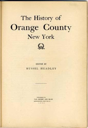
The History of Orange County New York — John Shaqi
The History of Orange County New York
History
The History of Orange County New York
Orange County (N.Y.) -- History
Orange County is unsurpassed by any other in the Empire State in
variety of surface features and picturesque beauty of scenery. It has
mountain ranges and extended ridges, streams with wide and narrow
valleys, and is dotted with lakes and ponds. Along the mountain lines
are a few lofty peaks, and there are many isolated hills and rocky
precipices. Parts of its boundaries are the Hudson River on the
northeast, the Delaware and Mongaup Rivers on the west, and the
Shawangunk Kill on the northwest. Near the center the Wallkill winds
along its rich valley into Ulster County, and thence into the Hudson.
Its principal tributary on the northwest is Rutgers Creek--which also
has several tributaries--and others are Monhagen Creek, Mechanicstown
Creek and Shawangunk Kill. On the southwest it gathers in the waters
of Warwick Creek--which is swollen by smaller streams in its
course--and also Quaker, Rio Grande, and Tin Brook Creeks. The Otter
Kill flows easterly from Chester into the Hudson. The Neversink flows
from Sullivan County through the town of Deer Park, and becomes a
tributary of the Hudson. The course of the Ramapo is southerly from
Round Pond in Monroe to Rockland County, and it is fed by several
other ponds. Other streams, large and small, are numerous.
The central portion of the county consists of rolling uplands broken
by deep valleys. The most prominent of the mountain ranges are the
Highlands along its eastern border. Their loftiest peak, Butter Hill,
is 1,524 feet high, precipitous on the river side, and sloping on the
north. Another name given to it is Storm King, because clouds
occasionally gather there from different directions and concentrate
in storms of rain and lightning. Cro'-nest {_sic_} adjoins it on the
south, and is 1,418 feet above the Hudson. Bare Mountain is next,
with a height of 1,350 feet. Mount Independence, with Fort Putnam on
its summit, is the background of the West Point plateau. Other well
known hills are in this broken range, where Arnold, the traitor,
conferred with Andre, the spy, and is more intimately identified with
the military history of the country than any other mountain region.
It has been written of Butter Hill and Cro'-nest that "they have a
charm which might induce a man to live in their shadow for no other
purpose than to have them always before him, day and night, to study
their ever-changing beauty."
[Illustration: Gate of the Highlands]
The Shawangunk Mountains are a spur of the Alleghenies stretching
northeast across the western angle of the county. They are less
broken than the Highlands, and not so high as the Catskills, but of
the same general formation. The western side is precipitous, but the
eastern is sloping, and some of its lands are very fertile, producing
sweet grasses from which much of the famous Orange County butter has
been made. The peaks rise from 1,400 to 1,800 feet above tide water.
This range was the original dividing line between the Wawayanda and
Chesekook patents.
Public-domain text, read in full here on John Shaqi.
Reviews
Reviews
No reviews yet
Be the first to share your thoughts on this work.
Join the Discussion
Join the discussion
Sign in to leave a comment or review.
Sign InorCreate an account