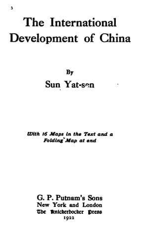
The International Development of ChinaSun, Yat-sen
History
The International Development of China
Sun, Yat-sen
China -- Economic conditions -- 1912-1949; Railroads -- China
This line starts from Lhasa and proceeds northeastward on the former
imperial highway by Teking and Nanmo to Motsukungchia. Thence it turns
southeastward and northeastward to Giamda. From Giamda, the line turns
northward, then northeastward where it proceeds through the Tolala Pass
to Lhari. After Lhari the line goes in an easterly direction and passes
Pianpa, Shihtuh, and many small towns to Lolongchong. Thence it crosses
the Lukiang by the Kayu Bridge and then turns northeastward to Kinda
and Chiamdo. After Chiamdo, the line instead of following the imperial
highway southeastward to Batang, turns northeastward, following another
trade route, and proceeds to Payung at the northwestern corner of
Szechwan. From Payung, it proceeds across the Kinshakiang over the
bridge near Sawusantusze. The line then turns southeastward, enters the
Ichu Valley and proceeds downward to Kantzu on the Yalung River. Thence
it proceeds to Chango and Yinker, to Badi on the Great Golden River,
and Mongan on the Little Golden River. After Mongan, the line goes
through the Balan Pass to Kwanhsien, and entering the Chengtu Plain,
reaches Chengtu by Pihsien. This line covers a distance of about 1,000
miles.
c. The Lhasa-Tali-Cheli Line
This line starts from Lhasa by the same track as the Lhasa-Chengtu
line as far as Giamda. From Giamda, it proceeds by its own track
southeastward, following a branch of the Sanpo River to Yulu, where
this branch joins its main stream. After Yulu, it follows the left
bank of the Sanpo River passing by Kongposaga to Timchao. From
Timchao, the line turns away from the Sanpo River and proceeds in an
eastward direction to Timchong city, Ikung, Kuba, and Shuachong. After
Shuachong, the line proceeds southeastward to Lima, thence eastward
to Menkong on the Lukiang. From Menkong, the line turns southward and
goes along the right bank of the Lukiang passing Samotung to Tantau.
Then crossing the Lukiang, it proceeds across the watershed through
Gaiwa village to the Lantsang (or Mekong) River, and to Hsiaoweisi
beyond it. After Hsiaoweisi, it follows the river bank to the Chenghsin
Copper Mine, thence it turns away from the river and proceeds by Hosi,
Erhyuan, Tengchow, and Shangkwang to Tali. From Tali, the line proceeds
to Hsiakwang, Fengyi, Menghwa, and then meets the Lantsang River again
at Paotien. Thence it follows the left bank southward right through to
Cheli, where it ends. This line covers a distance of 900 miles.
d. The Lhasa-Taklongshong Line
This line starts from Lhasa and proceeds southward by way of Teking
to the Sanpo River where turning eastward it follows the left bank of
the river to Sakorshong. After crossing the Sanpo River to Chetang,
it proceeds southward by Chikablung, Menchona, Tawang, Dhirangjong
to Taklongshong and continues farther on until it reaches the Assam
frontier. This line covers a distance of 200 miles.
e. The Lhasa-Yatung Line
Public-domain text, read in full here on John Shaqi.
Reviews
Reviews
No reviews yet
Be the first to share your thoughts on this work.
Elsewhere in the archive
Join the Discussion
Join the discussion
Sign in to leave a comment or review.
Sign InorCreate an account