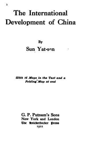
The International Development of ChinaSun, Yat-sen
History
The International Development of China
Sun, Yat-sen
China -- Economic conditions -- 1912-1949; Railroads -- China
a. The Lhasa-Lanchow line.
b. The Lhasa-Chengtu line.
c. The Lhasa-Tali-Cheli line.
d. The Lhasa-Taklongshong line.
e. The Lhasa-Yatung line.
f. The Lhasa-Laichiyaling line.
g. The Lhasa-Nohho line.
h. The Lhasa-Iden line.
i. The Lanchow-Chochiang line.
j. The Chengtu-Dzunsasak line.
k. The Ningyuan-Cherchen line.
l. The Chengtu-Menkong line.
m. The Chengtu-Yuankiang line.
n. The Suifu-Tali line.
o. The Suifu-Mengting line.
p. The Iden-Gortok line.
a. The Lhasa-Lanchow Line
This is the most important line of this system for it connects the
capital city of Tibet--a vast secluded region with several millions of
people--with the central trunk line of the country. The route which
it passes through is inhabitable and is already slightly inhabited
in the region between the ends of the proposed line. So it will
probably be a paying line from the beginning. This line starts from
Lhasa, following the old imperial highway in a northward direction and
proceeds by Talong to Yarh, which lies on the southeastern side of
Tengri Nor Lake. After Yarh, the line turns more eastward and proceeds
across the watershed from the Sanpo Valley to the Lukiang Valley by the
Shuangtsu Pass. Thence turning more eastward the line proceeds across
the headwater of the Lukiang to that of the Yangtze by passing many
valleys, streams, and mountain passes. Then it crosses the main body
of the Upper Yangtze, which is here known as the Kinshakiang, over the
Huhusair Bridge. After crossing the bridge, it turns southeastward,
then eastward across the Yangtze Valley into the Hoangho Valley, where
it passes through many small towns and encampments into the Starry Sea
region. At the Starry Sea, the line passes between the lakes of Oring
Nor and Tsaring Nor. Thence it turns northeastward across the southeast
valley of the Zaidam region, and returns into the Hoangho Valley again.
Then it proceeds through Katolapo and various towns to Dangar, now
called Hwangyuan, situated near the border between Kansu and Kokonor.
After Dangar, the line turns southeastward following the course of the
Sining River, proceeds downward through a very rich valley and passes
through Sining, Nienpai, and hundreds of small towns and villages to
Lanchow. This line covers a distance of 1,100 miles.
b. The Lhasa-Chengtu Line
Public-domain text, read in full here on John Shaqi.
Reviews
Reviews
No reviews yet
Be the first to share your thoughts on this work.
Elsewhere in the archive
Join the Discussion
Join the discussion
Sign in to leave a comment or review.
Sign InorCreate an account