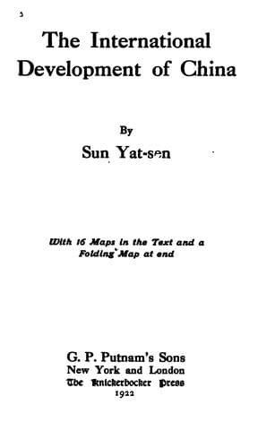
The International Development of ChinaSun, Yat-sen
History
The International Development of China
Sun, Yat-sen
China -- Economic conditions -- 1912-1949; Railroads -- China
In regulating the part of the river from ten miles above Wuhu to
ten miles below Tatung, I propose to cut a new channel through the
midstream islands formed by the three dilatations and the sharp corners
of the shore, in order to straighten as well as to shorten the river,
as marked by the dotted lines in the map attached here. The cost of the
cut could not be estimated until a detail survey is made. But as soon
as the embankments are laid out the natural force of the river's own
current will do a great part of the dredging work, so that the expenses
of the cutting for the new channel will be much less than usual. Above
Tatung there are two sharp turns of the left shore to be cut. One is on
the left shore at the point where the beacon now stands about twelve
miles from Tatung. In this place a few miles of the left shore will
have to be cut away. The other cut is just below the city of Anking
hence to Kianglung beacon, a distance of about six miles. By this cut
we do away with the sharp turns of the river at Chuan Kiang Kau. These
cuttings would cost much more than the piling of stone at the lower
reach of the river. It is quite certain that the reclamation of the
side channels of this part will not cover the cost of the cuttings.
Therefore this part of the regulating work will not be self-paying, but
the navigation of the Yangtze, the protection it gives to both sides
of the land, and the prevention of floods in the future will amply
compensate for such work.
e. From Tungliu to Wusueh
This part of the river is about eighty miles in length. The land
along the right bank is generally hilly while that along the left is
low. Along its course there are four dilatations. In three of these
dilatations the current has cut into the left or northern bank of the
river and then turns back into its main course again almost at right
angles. At such points the bank is very unstable. Between the channels
of these dilatations islands are being formed. See Map IX.
The regulating works of this part are much easier to construct than
those of the lower part. The three diverting semicircular channels
have to be blocked up at the upper ends, and the lower openings left
open for silt to go into at flood seasons in order to reclaim them
by the natural process. The other dilatations should be narrowed in
from both sides by jetties. A few places will have to be cut, the most
important being the Pigeon Island and the turn above Siau Ku Shan. Some
of the midstream islands will have to be removed, and a few wide places
filled up in order to make the channel uniform, so as to give a regular
minimum depth of six fathoms right along the whole course.
f. From Wusueh to Hankow
This part of the river is about one hundred miles long. Above Wusueh we
enter into the hilly country on both sides. The river here is generally
about half a mile wide, with a depth of from five to twelve fathoms or
sometimes more in certain places. See Map X.
Public-domain text, read in full here on John Shaqi.
Reviews
Reviews
No reviews yet
Be the first to share your thoughts on this work.
Join the Discussion
Join the discussion
Sign in to leave a comment or review.
Sign InorCreate an account