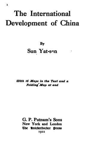
The International Development of ChinaSun, Yat-sen
History
The International Development of China
Sun, Yat-sen
China -- Economic conditions -- 1912-1949; Railroads -- China
This is the third line that radiates from the railway center and
proceeds nearly in a westerly direction across the plain to Taonan
where it crosses the projected Aigun-Jehol line (Japanese), and also
meets the termini of two other projected lines, the Changchun-Taonan
and the Tsengkiatun-Taonan (Japanese). After Taonan, the line turns
more southward by skirting along the foothills of the southeastern side
of the Great Khingan range where vast virgin forests and rich minerals
are found. Then it passes through the upper Liaoho Valley formed by
the Great Khingan Mountain on the north, and the Jehol Mountain on the
south and through the towns of Linsi and Kingpang to Dolon Nor, where
it meets the trunk line of the Northwestern Railway system. This line
covers a distance of about 480 miles, a greater part of which is on
level land.
d. The Tungchin-Kerulen Line
This is the fourth line that radiates from the Tungchin Railway
center. It runs in a northwesterly direction almost parallel with the
Harbin-Manchuli line of the Chinese Eastern Railway, the distance
between the two lines varying from 100 to 130 miles. The line starts
from Tungchin on the north side of the junction of the Nonni and
Sungari rivers and proceeds westward across the Nonni River to Talai,
and then turns northwestward across the plain into the valley of the
north branch of the Guileli River. After entering the valley, it
follows the stream up to its source, then crosses the Great Khingan
Mountain watershed into the Mongolian Plain by the Khalka River, and
follows the right bank of this river to the north end of Bor Nor Lake.
Thence it turns directly westward to the Kerulen River, and follows
the south bank of the river to Kerulen. This line covers a distance of
about 630 miles.
e. The Tungchin-Moho Line
This is the fifth line that radiates from this railway center. It
starts from the north side of the junction of the Nonni and Sungari
rivers, and proceeds northwestward across the northern end of the Great
Manchurian Plain to Tsitsiha. At Tsitsiha, it joins the projected
Kinchow-Aigun line and proceeds together northwestward alongside the
left bank of the Nonni River as far as Nunkiang where it separates from
the other. Thence it resumes the northwesterly direction and proceeds
into the upper Nonni Valley until the headwater is reached. Then it
crosses the northern extremity of the Great Khingan Range to Moho,
where it joins the terminus of the Dolon Nor-Moho line. This line is
about 600 miles long. About a quarter of this length runs on the plain,
the second quarter runs along the lower Nonni Valley, the third along
the Upper Valley, and the fourth runs in mountainous but gold-bearing
regions, where only physical difficulties are to be expected.
f. The Tungchin-Korfen Line
Public-domain text, read in full here on John Shaqi.
Reviews
Reviews
No reviews yet
Be the first to share your thoughts on this work.
Elsewhere in the archive
Join the Discussion
Join the discussion
Sign in to leave a comment or review.
Sign InorCreate an account