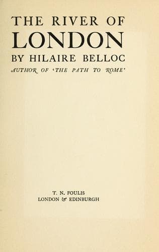
London (England) -- Description and travel; Thames River (England)
Before the north of England was industrialised, three things were
mainly required to establish what I have called the “draining” power
of any market in the island. First, that it should be fairly central
to all the south and Midlands; secondly, that it should afford a
convenient centre of demand for various foreign products; thirdly,
that it should be as close as possible to such continental markets as
principally received our export.
Given those three conditions combined in any one place, and so far as
the great mass of Britain was concerned, a point would be established
to which would flow the main part of the produce which the Continent
desired to purchase by exchange.
Observe how all these three conditions coincide in the case of London
and of that Lower Thames which was its port.
When I say with regard to the first condition that the point we are
seeking must be “central” to the south and east of the Island and to
the Midlands, I am using a word which needs expansion. I mean that we
must have a point to which the communications of commerce already lead,
and one not too ex-centric to the area tapped.
Now at the first glance at the map London does give an impression of
ex-centricity, of lying upon one side: and that towards the east and
the south.
But when we begin to consider certain qualifying conditions, we shall
find that London is fairly central, even geometrically, to the area in
question, and that, when we are considering the economic “weight” of
the various parts of this area, London may by a metaphor be said to be
near the “centre of gravity” of such an area.
Cut off, in the first place, the Dumnonian Peninsula--that is, Devon
and Cornwall,--the Welsh Highlands, and the Pennines. Consider (that
is) South England, East Anglia, and the Midlands. You have an area
roughly square, and about two hundred miles every way.
In drawing such a square, take for your extreme points Chester on
the north-west, a point midway between Portland and Exmouth on the
south-west; upon the north-east a point a little north of Cromer, and
upon the south-east a point in the Straits of Dover, a trifle west of
the line between Dungeness and Boulogne. Such a square includes a good
deal that is outside our area, much of the estuary of the Severn, a
strip of the Channel, a wedge of the North Sea and of the Wash, and
a wedge of Pennine land to the north; but it also excludes a certain
amount properly within our area as some of the richest parts of Kent
and of Norfolk and Suffolk. We may therefore take this square for a
fair average, and we shall see that even upon the test of distance
London is not so ex-centric as might be imagined. Draw the two
diagonals of this square, and you will find that London lies upon one
of them at a distance of less than forty miles from the centre.
[Illustration: KINGSTON BRIDGE]
Public-domain text, read in full here on John Shaqi.
Reviews
Reviews
No reviews yet
Be the first to share your thoughts on this work.
Join the Discussion
Join the discussion
Sign in to leave a comment or review.
Sign InorCreate an account