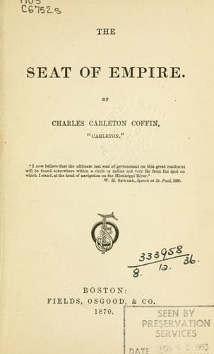
Minnesota -- Description and travel; Northwest, Canadian; Northwestern States; Red River of the North
"The climate of Idaho varies considerably with the degrees of latitude
through which its limits extend, but not so much as would naturally
be supposed from its great longitudinal extension; the isothermal
lines of the Territory, running from east to west, have a well-defined
northward variation, caused by the influence of air currents from the
Pacific Ocean. Throughout the spring, summer, and autumn months, in the
northern as well as the southern sections, the weather is generally
delightful and salubrious; in the winter months the range of the
thermometer depends greatly upon the altitude of the surface,--the
higher mountains being visited by extreme cold and by heavy falls of
snow; the lower mountain-ranges and the plains having winters generally
less severe than those of northern Iowa and Wisconsin or central
Minnesota, while greater dryness of the atmosphere renders a lower
fall of the thermometer less perceptible; and the valleys being rarely
visited by cold weather, high winds, or considerable falls of snow.
Considered in its yearly average, the climate is exactly adapted to
sheep-growing and the production of wool, the herding of cattle, and
manufacture of dairy products, the raising of very superior breeds of
horses, as well as the culture of all Northern varieties of fruits,
such as apples, pears, plums, cherries, peaches, grapes, and all of the
ordinary cereals and vegetables" (p. 164).
This is all different from what we have conceived the Rocky Mountains
to be.
When the government reports of the explorations of 1853 were issued,
Jeff Davis was Secretary of War, and he deliberately falsified the
report of Governor Stevens's explorations from Lake Superior to the
valley of the Columbia. Governor Stevens reported that the route passed
through a region highly susceptible of agriculture; but the Secretary
of War, even then plotting treason, in his summary of the advantages
of the various routes, asserted that Governor Stevens had overstated
the facts, and that there were not more than 1,000 square miles, or
640,000 acres, of agricultural lands. The Land Commissioner in his
Report estimates the amount of agricultural lands at 16,925,000
acres. The amount of improved lands in Ohio in 1860 was 12,665,000
acres, or more than 4,000,000 less than the available agricultural
lands in Idaho. These are lands that need no irrigation. Of such
lands there are 14,000,000 acres, which, in the language of the
Commissioner, are "redeemable by irrigation into excellent pasture
and agricultural lands." The grazing-lands are estimated at 5,000,000
acres, the timbered lands at 7,500,000 acres, besides 8,000,000 acres
of mineral lands. Although the population of Idaho probably does not
exceed 50,000, half of whom are engaged in mining, the value of the
agricultural products for 1868 amounted to $12,000,000, while the
mineral product was $10,000,000.
Passing on to Oregon we find a State containing 95,000 square miles,
two and a half times larger than Ohio.
Public-domain text, read in full here on John Shaqi.
Reviews
Reviews
No reviews yet
Be the first to share your thoughts on this work.
Join the Discussion
Join the discussion
Sign in to leave a comment or review.
Sign InorCreate an account