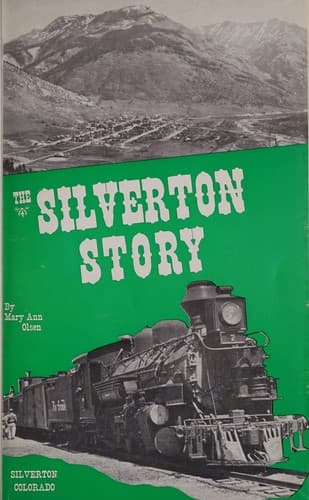
THE SILVERTON STORY
by
MARY ANN OLSEN
I am indebted to the following for historical information and pictures:
Helen Fleming, Ross C. Beaber, former publisher of the Silverton
Standard, L. W. Parcell of the Grand Imperial Hotel, Herold A.
Waddington, James R. Bell, and Fenrick Sutherland.
Copyright 1962
Mary Ann Olsen
All Rights Reserved
Printed by Beaber Printing Co., Cortez, Colorado
[Illustration: Autograph]
_To
Ruby Hammand,
My Best Regards
Mary Ann Olsen
7-7-65_
_The Silverton Story_
[Illustration: Silverton, Looking South Toward Durango]
Silverton, with all its scenic splendor, nestles in a valley 9,302 feet
in altitude. It is surrounded by four mountain peaks, all of which rise
above timberline, and are usually snow covered the year around; Kendall
Mountain to the East, Anvil Mountain to the West, Boulder Mountain to
the North, and Sultan Mountain to the South. The highest of these peaks
is Sultan, which rises to a dizzy height of 13,336 feet. Opposite this
is Kendall that juts skyward 4,000 feet above the floor of the valley.
Silverton is centered in the rugged, majestic San Juan Mountains, and
nowhere in the nation is there another 100,000 square miles of such
spectacularly scenic grandeur.
One evening, a group of men were in a saloon discussing the
possibilities of the San Juan. One fellow remarked, “We have silver by
the ton”, and thus Silverton got its name. It is the only incorporated
town in the county, and boasts not an acre of farm land.
Silverton was, at one time, named Baker’s Park after Charles Baker who
led a group of prospectors to this country in 1860 or 1861. There is no
record of any permanent locations made, or of any quantity of mineral
taken out, though there were indications of prospecting being done. As
you can imagine, Baker and his party endured many hardships. Relics,
broken wagon parts, and some discarded camp equipment lead to the belief
the party came by way of Durango, thence to Cascade Creek along the
route of our present highway. From there they went to the West of Spud
Mountain and kept fairly high, crossing Coal Bank Hill and following
around the head of Lime Creek. After passing Lime Creek, they crossed
the hills East of there and came down into the park by way of Bear
Creek. There is a place on Bear Creek which shows they let their wagons
down the hillside by means of a rope, as the stock was evidently unable
to hold the wagons under control.
Public-domain text, read in full here on John Shaqi.
Reviews
Reviews
No reviews yet
Be the first to share your thoughts on this work.
Join the Discussion
Join the discussion
Sign in to leave a comment or review.
Sign InorCreate an account