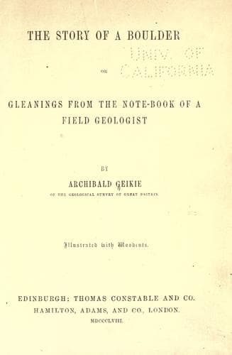
The Story of a Boulder; or, Gleanings from the Note-book of a Field GeologistGeikie, Archibald
Science
The Story of a Boulder; or, Gleanings from the Note-book of a Field Geologist
Geikie, Archibald
Geology; Petrology
The southern part of Mid-Lothian consists of a broad heathy moorland,
that slopes northward into the more cultivated country, and swells
upward to the south into the series of undulating ridges that form the
Moorfoot Hills. It is traversed by several streams which rise high
among the pasture grounds of the south, and flow some into the valley
of the Esk, and thence into the sea at Musselburgh; others past the
ancient fortalices of Borthwick and Crichton, and so by the valley of
the Tyne into the sea at Tyningham. In their upper course they traverse
a broad belt of the mountain limestone that stretches across this
part of the country from east to west, and dips away north under the
coal-field. Where the streams have been able to cut through the thick
mantle of heath, sand, gravel, and clay, by which these higher grounds
are covered, we sometimes obtain a complete section of the strata
displayed in regular sequence along the bottom of the channels. Thus,
one of the rivulets that trickles slowly through the swampy ground of
Middleton Muir, on approaching the line of limestone begins to descend
more rapidly, and has excavated its course through several feet of the
rock below. The limestones are well exposed along each side of the
stream, forming in some places steep walls tapestried with moss and
overhung with scraggy furze, and offering to the student an instructive
series of sections. Near the farm of Esperston, where the stream flows
through a narrow secluded valley, the limestones form a floor which the
water in the course of centuries has worn smooth, so that the rock with
its included encrinal stems and shells, polished by the ceaseless flow
of the current, shows like a sheet of variegated marble. At one point
on the side of the water-course the observer may notice a low ledge
of rock jutting out for a short way along the edge of the stream. The
upper part is a hard compact limestone, full of small crinoidal joints.
The bed underneath it has been greatly eroded by the rivulet, but
enough remains to show that the stratum is one of coal. It rests upon
the series of limestones and sandstones seen in the upper part of the
water-course, and is surmounted by the thick limestones of Arniston and
Middleton. A similar seam nineteen inches thick has been worked among
the limestone about three miles to the west at Fountain. The same bed
occurs among the quarries on Roman Camp Hill already mentioned, and I
have seen an equivalent stratum intercalated among sheets of cup-corals
and stone-lilies on the shore at Aberlady, where the waves have laid
open perhaps the finest section of Carboniferous limestone strata in
Scotland. In West-Lothian, too, the same intercalation of coal-seams
among the mountain limestone beds can be seen in many places. Thus, in
the bed of the River Almond, near Blackburn, the following section is
laid bare:--
Public-domain text, read in full here on John Shaqi.
Reviews
Reviews
No reviews yet
Be the first to share your thoughts on this work.
Elsewhere in the archive
Join the Discussion
Join the discussion
Sign in to leave a comment or review.
Sign InorCreate an account