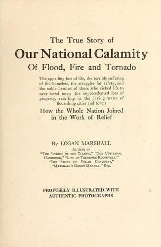
The True Story of Our National Calamity of Flood, Fire and TornadoMarshall, Logan
History
The True Story of Our National Calamity of Flood, Fire and Tornado
Marshall, Logan
Floods -- Ohio River Valley; Omaha (Neb.) -- Tornado, 1913
Before night a section of the city three blocks wide and six to nine
blocks long was covered with from three to six feet of water.
DANGER ALL ALONG THE LINE
The banks at Hopefield Point early began to cave in. More than an acre
slid into the water just south of the point. The main shore line began
to crumble, indicating that the oncoming high water would wash more than
half the old point away.
Gangs of men were busy working the north levee in Helena, Arkansas.
Major T. C. Dabney, of the upper Mississippi levee district, sent out
crews to raise the lowest places. Major Dabney did not anticipate great
trouble, but said he believes in being prepared.
A break in the levee in Holly Bush and Mounds, Arkansas, in April, 1912,
put all the west bank lines out of commission for ten days. Miles of
track were washed away. Fearing a repetition of this, the railroads and
shippers agreed to operate a daily boat between Memphis and Helena.
The first break in the main Mississippi River levee occurred on April
8th on the Arkansas side, just south of Memphis. Three counties were
flooded by water which poured through a big cut in the wall. No loss of
life was reported, the inhabitants having been warned in time that the
levee was weakening.
RIVER AT RECORD STAGE
It was predicted that the Mississippi River from Vicksburg, Mississippi,
to the Gulf would go two feet higher than the highest stage reported in
1912, according to a flood warning issued by Captain C. O. Sherrill,
United States Army Engineer, on April 2d.
In 1912 the maximum of the river gauge at New Orleans showed nearly
twenty-two feet. At that height, and even with the tide reduced by
several immense crevasses, waters came over the New Orleans levees at a
number of places, despite the fact that they were topped with several
rows of sandbags.
Captain Sherrill ascribed the unprecedented flood entirely to the rains
in the river bed caused by last year's crevasses. He issued orders to
have the levees from Vicksburg to Fort Jackson on both sides raised
above the flood stage of 1912, and men and material were sent to all
points along the river to combat the expected high water in the lower
Mississippi.
Colonel Townsend, head of the Mississippi River Commission, ten days
previously predicted a stage as high as that of 1912, and sent out
warnings to all engineers in the valley. It was acting upon his advice
that Captain Sherrill began to assemble barges, quarter boats, bags,
material and tools to be sent to points between Vicksburg and New
Orleans for possible emergencies.
Public-domain text, read in full here on John Shaqi.
Reviews
Reviews
No reviews yet
Be the first to share your thoughts on this work.
Elsewhere in the archive
Join the Discussion
Join the discussion
Sign in to leave a comment or review.
Sign InorCreate an account