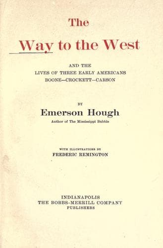
The Way to the West, and the Lives of Three Early Americans: Boone—Crockett—CarsonHough, Emerson
History
The Way to the West, and the Lives of Three Early Americans: Boone—Crockett—Carson
Hough, Emerson
Boone, Daniel, 1734-1820; Carson Kit, 1809-1868; Crockett, Davy, 1786-1836; Mississippi River Valley -- History; West (U.S.) -- History
If our theory regarding Western transportation and Western emigration
has been correct, we should now be able to check back on the census map,
and expect to find a certain verification of our conclusions. It is
curious to observe that the path of the star, which marks on the census
charts the center of population, in reality has followed much the same
line as the early west-bound movement with which we have been
principally concerned. The star moves slowly westward, across the
Alleghanies, as did the first pioneers. Then it follows down the valley
of the Ohio, as did the early down-stream population under our theory of
the transportation of that day.
In 1860 the center of population is situated on the Ohio River, perhaps
a hundred miles east of the city of Cincinnati. In 1860 the colors
thicken deeply along the river valleys; and far up the streams, even
toward the heads of the Mississippi and the Missouri, the map tells us
that the population is denser than it is in regions remote from any
waterways. In 1870 the face of the map remains, for the most part, bare
west of the Missouri, except where the Indian reservations lie.
On the Pacific coast, in California and Oregon, there is a population in
some districts of forty-five to ninety persons to the square mile.
Around Helena, Deer Lodge, and other mining towns of Montana, there is a
faint dash of color showing a population of two to six souls to the
square mile, which is beyond the average of all but a few localities
west of the Missouri River. At Salt Lake, at Denver, at Santa Fé,
termini of transportation in their day, as we have seen, there are bands
of a similar color. The total population of America, which in 1810 was
7,239,881, and in 1820, the beginning of our up-stream days, was
9,633,822, is in 1860 31,443,321 and in 1870 38,558,371.[27] Nearly all
of this population shows on the census map as east of the Missouri
River. Out in the unsettled and unknown region west of the Missouri
there still lay the land that to the present generation means the West,
appealing, fascinating, mysterious, inscrutable; and for that West there
was to come another day.
-----
Footnote 16:
The Century Magazine, December, 1901.
Footnote 17:
Public-domain text, read in full here on John Shaqi.
Reviews
Reviews
No reviews yet
Be the first to share your thoughts on this work.
Elsewhere in the archive
Join the Discussion
Join the discussion
Sign in to leave a comment or review.
Sign InorCreate an account