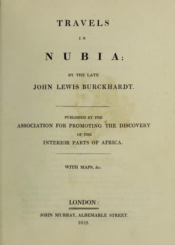
Burckhardt, John Lewis, 1784-1817; Nile River Valley -- Description and travel; Nubia -- Description and travel
In two hours we reached Waouy; two and a half, Eshamotto; three and
a half Irau; four and a half, Wady Aboudy; six hours, Dar Hamyde;
seven hours, Koeyk. The insulated mountain called Djebel Oellaky,[45]
bears N. E. by N. from Waouy. The western mountain, which may be
said to terminate at the southern extremity of the Batn el Hadjar,
in low sand hills, begins again to the west of the island of Say,
and describing, from thence, a wide semicircle westward, joins
the river again near Soleb. From Koeyk we crossed the stony plain,
overspread with cornelians, quartz, and agate, and leaving the river,
and the village Ebar, far to our left, arrived by a straight course
at the village of Sheikh Medjdera, a part of Wady Aamara, where
we slept, at the house of a man, whose father was from Damascus,
and had married here.
In order to explain the difference between the distances as noted
in my journal up the river, and those on my return, it is to be
observed that I travelled at a quick rate the whole of the way from
Assouan to Derr, (except where prevented by the rocky nature of the
ground), or at an average of four miles an hour, at the least. From
Derr to Wady Halfa, it appears to me, that I went at the rate of
three miles and a half per hour; and through the Batn el Hadjar,
three miles. From Sukkot to Mahass, again four miles an hour. On my
return from Mahass to Sukkot the rate was three miles and a half an
hour. From Sukkot to Derr, through the sands of the western shore,
three miles an hour. From Der to Assouan I travelled only two miles
in the hour, as I was fearful of injuring my camels by fatigue.
Public-domain text, read in full here on John Shaqi.
Reviews
Reviews
No reviews yet
Be the first to share your thoughts on this work.
Elsewhere in the archive
Join the Discussion
Join the discussion
Sign in to leave a comment or review.
Sign InorCreate an account