Belgium -- Guidebooks; France -- Guidebooks; World War, 1914-1918 -- Battlefields -- Guidebooks; World War, 1914-1918 -- Belgium -- Ieper
Produced by Moti Ben-Ari and the Online Distributed
Proofreading Team at http://www.pgdp.net (This file was
produced from images generously made available by The
Internet Archive)
MICHELIN ILLUSTRATED GUIDES TO THE BATTLEFIELDS (1914--1918)
YPRES AND THE BATTLES OF YPRES.
MICHELIN & Cie., CLERMONT-FERRAND
MICHELIN TYRE Co. Ltd., 81 Fulham Road, LONDON, S. W.
MICHELIN TIRE Co., MILLTOWN, N. J., U. S. A.
_The Best & Cheapest
Detachable Wheel is
The Michelin Wheel_
[Illustration: _The Ideal of the Tourist_]
_The Michelin Wheel is_
_ELEGANT_ _SIMPLE_
_STRONG_ _PRACTICAL_
_May we send you our illustrated descriptive brochure?_
MICHELIN TYRE CO., Ltd.
_81, Fulham Road, London,_ S.W. 3.
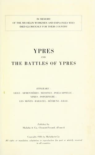
IN MEMORY
OF THE MICHELIN WORKMEN
AND EMPLOYEES WHO DIED GLORIOUSLY
FOR THEIR COUNTRY.
YPRES AND THE BATTLES OF YPRES
_ITINERARY:_
LILLE--ARMENTIÈRES--MESSINES--POELCAPPELLE
--YPRES--POPERINGHE--
LES MONTS--BAILLEUL--BÉTHUNE--LILLE.
Published by
MICHELIN & CIE.
Clermont-Ferrand, France.
Copyright 1919 by Michelin & Cie.
_All rights of translation, adaptation, or reproduction (in part or
whole) reserved in all countries._
[Illustration]
YPRES
AND THE BATTLES FOR ITS POSSESSION
FOREWORD
The town of Ypres lies in a sort of natural basin formed by a maritime
plain intersected by canals, and dominated on the north, north-east and
south by low wooded hills.
These canals, of which the Yser Canal is the most important, follow a
general direction south-east--north-west. A number of streams flowing in
the same direction also water the plain. In addition, there are the
Dickebusch, Zillebeke and Bellewaarde ponds.
The hills forming the sides of this basin are very low and partly
wooded. The line of their crests runs approximately from north to south,
through Houthulst Forest (road from Poelcappelle to Clercken),
Poelcappelle, Passchendaele, Broodseinde, Becelaere, Gheluvelt, the
strategic Hill 60 (south of Zillebeke) and St. Eloi. Further south is
the Messines-Wytschaete ridge, and to the south-west the Hills of
Flanders.
Houthulst Forest is the largest of the woods. Next come the islets of
Westroosebeke and Passchendaele, then, south of Zonnebeke, Polygone
Wood, Nonne-Bosschen (or Nonnes) Wood, and the Woods of Glencorse,
Inverness and Herenthage.
In this region, with its essentially maritime climate, the war assumed a
character entirely different from that of the rest of the front. The
marshy ground, almost at sea-level, is further sodden by constant rain
and mists, and forms a spongy mass, in which it was impossible to dig
trenches or underground shelters. Water is found immediately below the
surface, so that the only possible defence-works were parapets. The
bursting shells made huge craters which, promptly filling with water,
became so many death-traps for wounded and unwounded alike.
Public-domain text, read in full here on John Shaqi.
Reviews
Reviews
No reviews yet
Be the first to share your thoughts on this work.
Join the Discussion
Join the discussion
Sign in to leave a comment or review.
Sign InorCreate an account