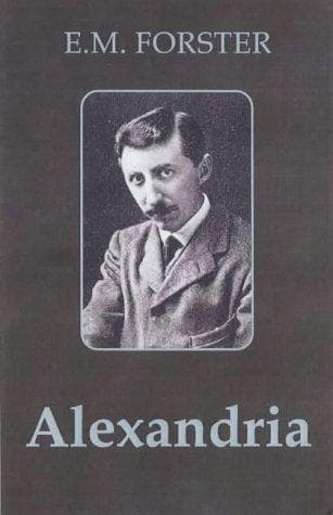
Alexandria: A History and a GuideForster, E. M. (Edward Morgan)
History
Alexandria: A History and a Guide
Forster, E. M. (Edward Morgan)
Alexandria (Egypt) -- Guidebooks; Alexandria (Egypt) -- History
(ii). Lake Mariout was much deeper then than now, and directly connected
with the Nile. Consequently it was almost as important a water-way as
the sea, and a lake harbour was an integral part of the plan.
(iii). There was then through water-connection between the Mediterranean
and the Red Sea. The ancient Egyptians had cut a canal from the Nile at
Memphis down to the salt lakes that begin by the modern Ismailia. Thus
Alexandria stood in the position of Port Said to-day; a maritime gateway
to India and the remoter east.
* * * * *
The city was oblong, and filled up the strip between the Lake and the
sea; she was laid out in rigidly straight lines. Her main street (the
“Canopic”) still exists in part as the Rue Rosette. It ran almost due
east and west—a bad direction because it was cut off from the cool north
wind that is the real tutelary god of Alexandria, but, owing to the
site, nothing else could be contrived. Westward it terminated in the
sea; eastward it proceeded to Canopus (Aboukir). It was the natural
highway along the limestone spur, and no doubt existed long before
Alexander came.
Crossing the Canopic Street, and following the line of the present Rue
Nebi Daniel, was the second main artery, the street of the Soma. It
started at the Lake Harbour and ran northward to the sea. Where it
intersected the Canopic Street stood the Soma, or burial place of
Alexander—close to the present Mosque. Parallel to these two streets ran
others, dividing the city into blocks of an American regularity. It
could not have been picturesque, but the Greeks did not desire
picturesqueness. They liked to lay their towns out evenly—Rhodes and
Halicarnassus had just been laid out on the same lines—and the only
natural feature they cared to utilise was the sea. The blocks were
labelled according to the letters of the Greek alphabet.
Of the sea front magnificent use was to be made. Only one feature shall
be mentioned here: the dyke Heptastadion (seven stades long) which was
built to connect the island of Pharos and the mainland. It performed two
functions; it enlarged the city area, and it broke the force of the
currents and created a double harbour—the Great Harbour to the east and
the Eunostos (“Safe Return”) to the west. In the Arab period the
Heptastadion silted up and became the neck of land that leads to
Ras-el-Tin.
Public-domain text, read in full here on John Shaqi.
Reviews
Reviews
No reviews yet
Be the first to share your thoughts on this work.
Join the Discussion
Join the discussion
Sign in to leave a comment or review.
Sign InorCreate an account