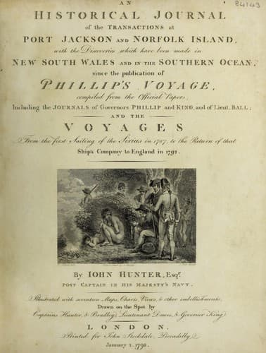
An Historical Journal of the Transactions at Port Jackson and Norfolk IslandHunter, John
History
An Historical Journal of the Transactions at Port Jackson and Norfolk Island
Hunter, John
New South Wales -- History -- Sources
The Isle of Pines, so far from being an inconsiderable spot,
as I had believed, is not less than 14 or 15 miles over in a
south-east and north-west direction; it is high and remarkable in
the middle, being quite a pointed hill, sloping towards the
extremities, which are very low; the low land had many tall
pine-trees upon it; these trees, in length, seemed exceedingly to
surpass those of Norfolk Island, but their branches did not
appear to extend so far from the body of the tree.
We continued to steer to the north-westward without seeing any
thing, and when we had reached the latitude of 19 deg. 00' south,
which is supposed to be as far to the northward as any part of
New Caledonia extends, we hauled to the north-east, so as to pass
between Queen Charlotte's Islands and that large track of land
which had been seen by Monsieurs Bougainville and Surville
formerly, and lately by Lieutenant Shortland, in the Alexander
Transport, and more recently still by Lieutenant Ball, in his
Majesty's armed tender Supply. The part seen by Lieutenant Ball
is, I believe, more to the southward, than that seen by the
French, and is no doubt the same as that seen by Lieutenant
Shortland; but the one sailed along the east, the other along the
west side of it. It is highly probable that there is a
continuation of the same track, and it is farther probable, by
the breaks which have been observed in it, that it is a chain of
islands extending in a south-east and north-west direction, and
very nearly connected with the coast of New Guinea.
On the 5th of May we were near as far to the northward as the
southermost part of this land, but did not see it, being by our
longitude in 163 deg. 33' east, which is more than a degree to
the eastward of the south part seen by the Supply; the weather
was now dark and gloomy, with heavy rain at times, and light,
variable winds. Queen Charlotte's Islands certainly lie farther
to the eastward than has generally been supposed, otherwise we
must have made them, for we crossed their latitude in 163 deg.
30' east longitude, which is nearly what the west end of Egmont
Island is said to lie in.
On the 8th of May we had a number of very good observations of
the sun and moon's distance, by which our longitude was at noon
163 deg. 32' east, and the latitude at the same time 9 deg. 33'
south. On the 10th, in the morning, we saw land bearing
west-north-west, distant about seven leagues; we bore down to
make it plain, and it proved to be a cluster of small islands,
five in number; they were well covered with trees, amongst which
we thought we observed the cocoa-nut.
Public-domain text, read in full here on John Shaqi.
Reviews
Reviews
No reviews yet
Be the first to share your thoughts on this work.
Elsewhere in the archive
Join the Discussion
Join the discussion
Sign in to leave a comment or review.
Sign InorCreate an account